
What is recorded here
Situated towards the bottom of a N-facing slope. Listed as ‘Enclosure’ in the SMR (1992) and the RMP (1996). On inspection in 2000 this was found to be a circular enclosure (int. diam. 25m N-S; 26m E-W) of modern construction defined by a drystone wall (Wth 0.4m; H 1.3m) from SE to N. The wall has been removed from N to SE. Mature deciduous trees grow in the interior.
Compiled by: Mary Tunney
Date of upload: 23 March 2016
A local fairy fort (ringfort/rath); wider significance not recorded.
This remains an important historical record, but the official description says the monument is no longer visible or has been destroyed. The monument record does not grant public access. Check the route and ask the landowner before entering private land.
- What survives
- No visible remains or recorded as destroyed
Places near here
 Bunnakippaun Castle (in ruins)Castle, unclassified · 393 yd
 TobermacduaghHoly well · 1237 yd
 Enclosure in TermonEnclosure · 1.1 mi
 Bawn in Fiddaun (kiltartan By.)Bawn · 1.1 mi
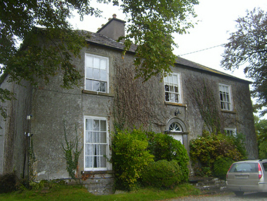 Lisheen Housecountry house · 1.5 mi
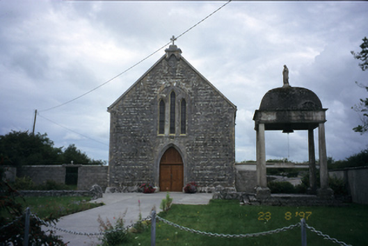 All Saints' Catholic Churchchurch/chapel · 1.6 mi
 Kilmacduagh MonasteryHeritage attraction · 1.7 mi
 Kilmacduagh Monastic SiteVisitor information · 1.8 mi
 Swan IslandIsland · 3.9 mi
 Apple IslandWood · 4.2 mi
 Slieve RoeMountain / peak · 4.2 mi
 Keaghery IslandWood · 4.3 mi
Other information
Photo: Credit not shown in the picture search · Rights wording not checked; contact us if this picture should be removed