What is recorded here
On a level area in pasture. Hachured on the 1842 ed. of the OS 6-inch map. This almost levelled circular enclosure (diam. c. 35m) is defined by a barely perceptible bank and is faintly visible on ortho photos (OSi MapGenie 2012-2018).
Compiled by: Mary Tunney and Conn Herriott
Date of upload: 24 January 2023
A local fairy fort (ringfort/rath); wider significance not recorded.
The monument record does not grant public access. Check the route and ask the landowner before entering private land.
- What survives
- Recorded monument
Places near here
 IndicatedEcclesiastical enclosure · 935 yd
 Font in Cross (inchiquin By.)Font · 992 yd
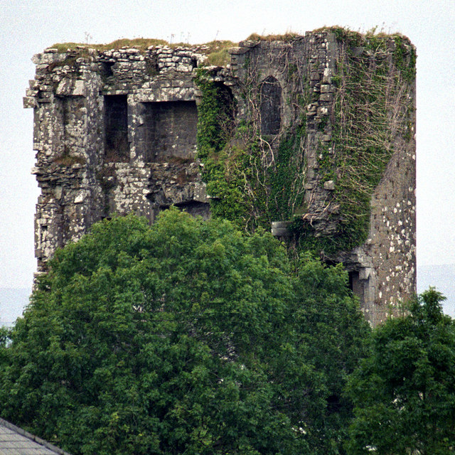 Kilkeedy Castle (in ruins)Castle, tower house · 1036 yd
 Bawn in DerryowenBawn · 1455 yd
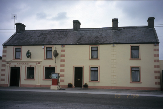 M. O'Gradyhouse · 1.4 mi
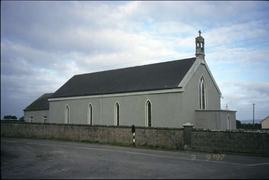 Saint Michael's Catholic Churchchurch/chapel · 1.5 mi
 Slieve RoeMountain / peak · 3.1 mi
 Mullagh MoreMountain / peak · 3.2 mi
 Kilmacduagh MonasteryHeritage attraction · 3.5 mi
 Kilmacduagh Monastic SiteVisitor information · 3.6 mi
 Father Ted's HouseHeritage attraction · 4.5 mi
 Mulkere MemorialMemorial · 4.5 mi
Other information
Photo: Credit not shown in the picture search · Rights wording not checked; contact us if this picture should be removed