What is recorded here
Toberaquill Castle vanished before modern maps arrived, leaving only a tower-house mark on a 1655-9 survey and no certain ground for the house that later took its name. Richard Delamarr held the land in 1641, yet the castle itself resisted identification, slipping past every later chart as if it had never committed to one place. The house may stand miles from the castle that gave it life, a name carried into brick while the true tower disappeared into forgotten field or water.
The precise location of Toberaquill Castle has not been identified. 'Tiberquill' Castle is depicted as a tower house type fortification on the 1655-9 Down Survey map of Taghmon parish (NLI, MS 723-4). The terrier of this parish map recorded that in 1641 the castle stood on lands belonging to Richard Delamarr who is listed as an 'Irish Papist' (ibid.) The castle is not depicted on any edition of the OS 6-inch maps. There is no evidence to suggest that Toberaquill House is built on the site of the medieval castle.
Compiled by: Caimin O'Brien
Date of upload: 4 October 2016
Toberaquill Castle was likely built as a tower house in the 17th century, as recorded on the Down Survey maps of 1655–59. It is remembered as part of the historical landscape of Taghmon parish, reflecting the defensive architecture of the period.
The monument record does not grant public access. Check the route and ask the landowner before entering private land.
- What survives
- Recorded monument
Places near here
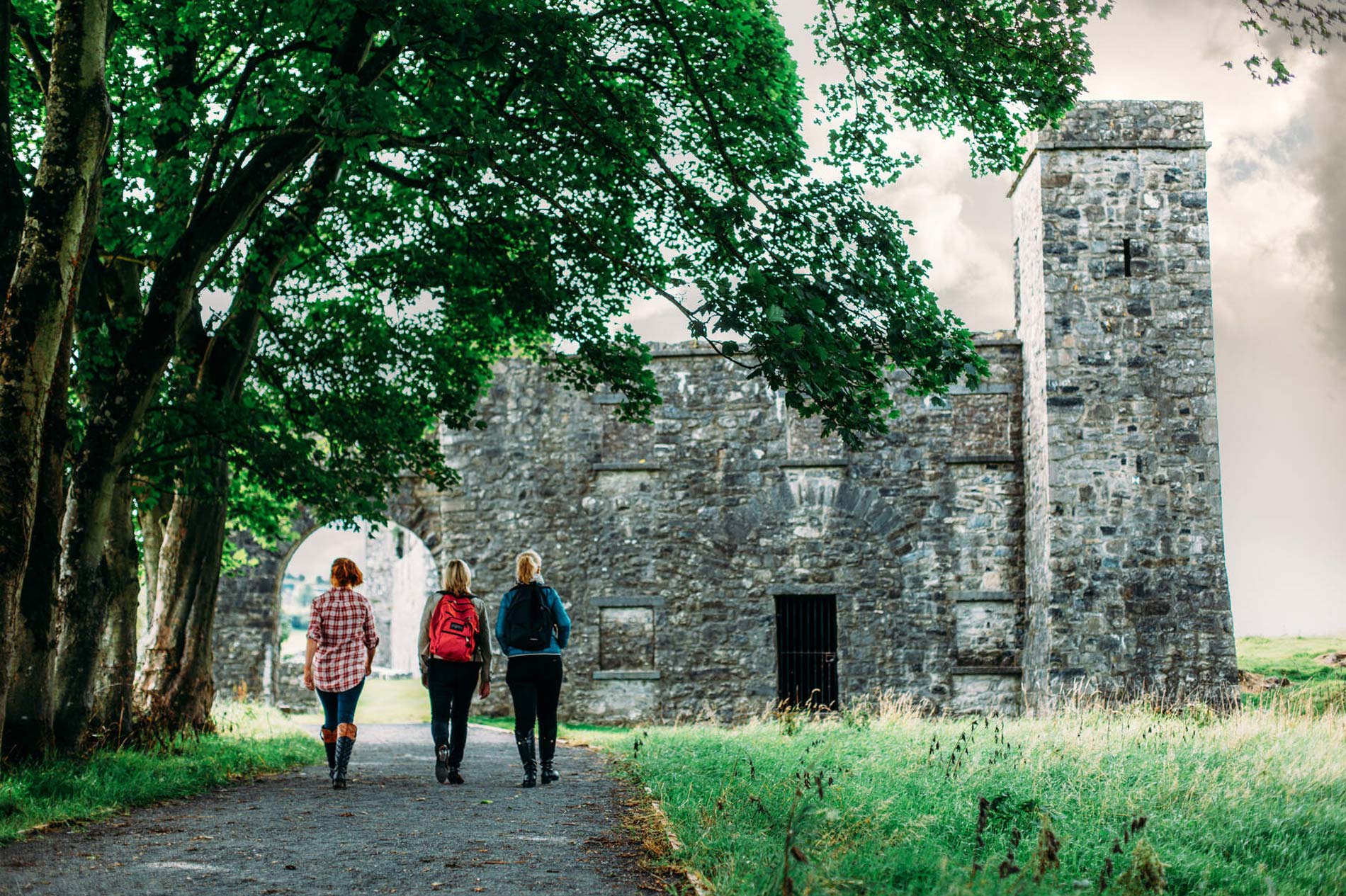 Partially hachuredFairy fort / earthen ringfort · 378 yd
 Toberallen Church Yd.Churchyard · 528 yd
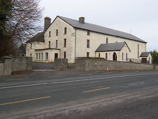 Catholic Church of the Assumptionchurch/chapel · 1.2 mi
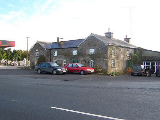 Rose Cottageworker's house · 1.2 mi
 Taghmon CastleCastle, tower house · 1.7 mi
 Long PlantingForest · 2.1 mi
 Scragh Bog Nature ReserveNature reserve · 3.3 mi
 Saint Brigid's WellSpring · 3.6 mi
 Castle (in Ruins)Castle, tower house · 3.6 mi
 Church IslandIsland · 3.8 mi
 United Nations War MemorialMemorial · 4.0 mi
 The Chimera GalleryGallery · 4.5 mi