
What is recorded here
Situated on steep NW facing slope of rising ground in grassland. Toberallen holy well (WM012-204----) 75m to SW, and ringfort (WM012-181---) 175m to SE. The stream which marks the townland boundary with Knockatee lies 30m to the W. Toberallen Churchyard depicted on the 1837 OS 6-inch map as a small rectangular trapezoidal shaped enclosure with Toberallen Church (WM012-180---) in centre. A narrow roadway formed the N boundary of the churchyard and ran NE towards the public road. Present remains consist of a rectangular shaped area (approx. dims. 20m NW-SE; 24m NE-SW) enclosed by a low earthen bank, with site of levelled Toberallen church (WM012-180---) in the centre. No surface evidence of any low stones marking burial plots and it is doubtful whether interior of churchyard was ever used for burials. The outline of the churchyard enclosure is visible on Digital Globe aerial photograph taken November 2011.
Compiled by: Frank Coyne and Caimin O'Brien
Date of upload: 12 March 2018
The monument record does not grant public access. Check the route and ask the landowner before entering private land.
- What survives
- Recorded monument
Places near here
 ToberallenHoly well · 91 yd
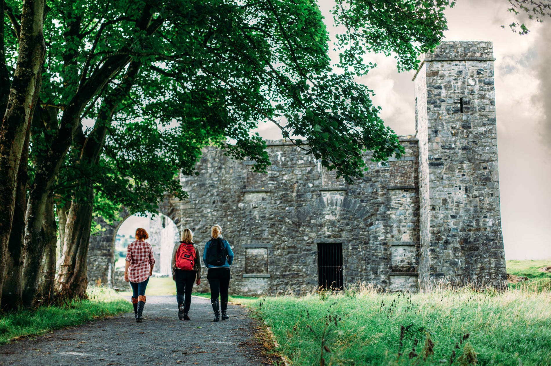 Partially hachuredFairy fort / earthen ringfort · 246 yd
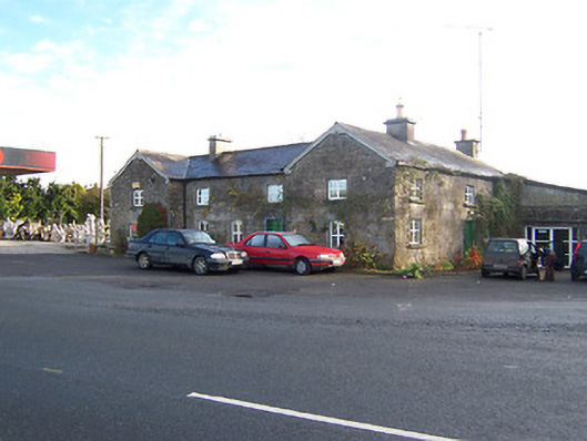 Rose Cottageworker's house · 1731 yd
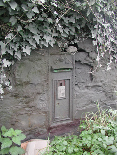 post boxpost box · 1745 yd
 Long PlantingForest · 1.8 mi
 Taghmon CastleCastle, tower house · 1.9 mi
 Scragh Bog Nature ReserveNature reserve · 3.0 mi
 Saint Brigid's WellSpring · 3.3 mi
 Church IslandIsland · 3.5 mi
 United Nations War MemorialMemorial · 3.7 mi
 Site of Fennor CastleCastle, tower house · 4.1 mi
 The Chimera GalleryGallery · 4.2 mi
Other information
Photo: Credit not shown in the picture search · Rights wording not checked; contact us if this picture should be removed