
What is recorded here
Described in gothic lettering as Toberaphuca – the Ghost’s well - on the 1839 and 1925 eds of the OS 6-inch map, and situated towards the bottom of a NW-facing slope. It was on the W side of a N-S road, but it is not known if it was venerated. It is not now visible at ground level.
Compiled by: Michael Moore
Date of upload: 15 August, 2012
Toberaphuca, known locally as the Ghost’s Well, is associated with a spirit or supernatural presence, as suggested by its name and historical cartographic references. The well's eerie reputation may reflect local folklore involving otherworldly beings or unexplained phenomena.
The monument record does not grant public access. Check the route and ask the landowner before entering private land.
- What survives
- Recorded monument
Places near here
 Site of RathFairy fort / ringfort · 886 yd
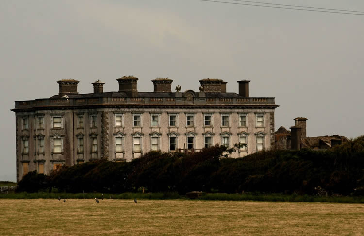 Enclosure in ClonleighEnclosure · 1232 yd
 Palace East Junction Railway Stationrailway station · 1696 yd
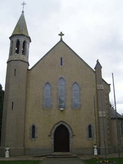 Catholic Church of Christ the Kingchurch/chapel · 1.4 mi
 1798 RebellionMemorial · 2.5 mi
 Site of Warrens CastleCastle, unclassified · 2.5 mi
 Castle (Site of)Castle, unclassified · 2.9 mi
 Carrickmastia HillMountain / peak · 3.2 mi
 CarrigvahanaghMountain / peak · 3.7 mi
 Forest Of The DunbrodyForest · 3.8 mi
 Silver WattleSilver Wattle · 4.2 mi
 Glenour MonumentMemorial · 5.0 mi
Other information
Photo: Credit not shown in the picture search · Rights wording not checked; contact us if this picture should be removed