What is recorded here
In pasture, on trackway running NNE-SSW as it traverses a land drain (D c. 3-4m). The well may have been removed when the drain was deepened or may exist under the trackway. It is indicated on both 1st (1840) and 2nd (1906) ed. OS 6-inch map as 'Toberadoney' which may have been anglicised from 'Tobar an Domhnaigh', meaning Sunday's Well. It is not visible at ground level.
Compiled by: Jean Farrelly
Date of upload: 26 August 2011
Toberadoney is a holy well traditionally associated with Saint Adoney, a lesser-known early Irish saint. The well was historically visited for its supposed healing properties, particularly for skin ailments and general well-being, with local folklore suggesting that water collected at dawn was most potent.
The monument record does not grant public access. Check the route and ask the landowner before entering private land.
- What survives
- Recorded monument
Places near here
 Modeshil Church (in ruins)Church · 1217 yd
 Enclosure in Jamestown (modeshil Par.)Enclosure · 1255 yd
 Modeshil Castle (in ruins)Castle · 1255 yd
 IndicatedEnclosure · 1313 yd
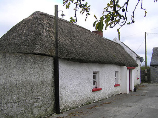 farm housefarm house · 2.0 mi
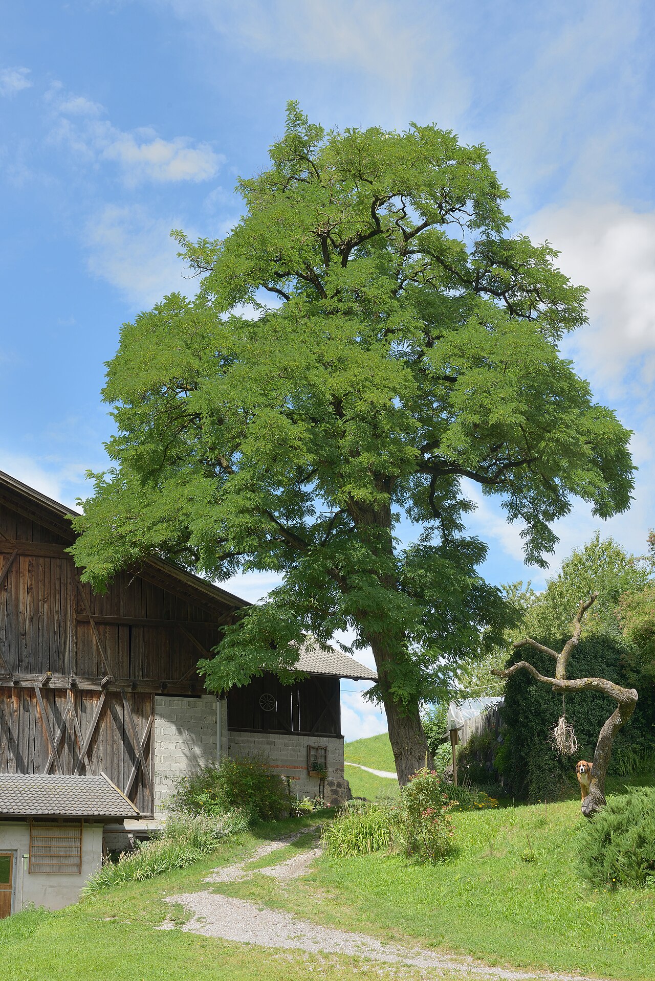 Black LocustBlack Locust · 2.1 mi
 Pedunculate OakPedunculate Oak · 2.1 mi
 St. Johns Monastery (in ruins)Castle, hall-house · 2.2 mi
 Edmund Rice Heritage CentreMuseum · 3.2 mi
 Callan Co-operative Agricultural & Dairy Society Ltd.Memorial · 3.3 mi
 Green StreetVisitor information · 3.3 mi
 Edmund Rice MemorialMemorial · 3.3 mi