
What is recorded here
In lush pasture, on a S-facing slope. Identified on an aerial photography (CUCAP AVL 71 15/07/1968) as a roughly circular cropmark with a small circular feature adjoining to WSW. A two-storey house built c. 1990 in the SE corner of field is likely to have encroached upon the SE quadrant. It is not visible at ground level.
Compiled by: Jean Farrelly
Date of upload: 26 August 2011
The monument record does not grant public access. Check the route and ask the landowner before entering private land.
- What survives
- Recorded monument
Places near here
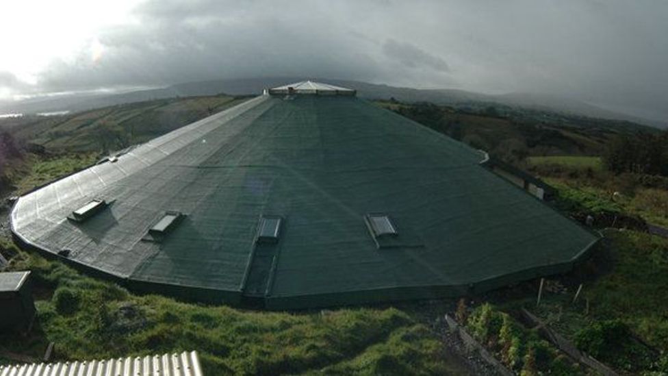 Enclosure in KyleaglannaEnclosure · 394 yd
 Crannlaght TreeRitual site, holy tree/bush · 936 yd
 Modeshil Church (in ruins)Church · 1456 yd
 Modeshil Castle (in ruins)Castle · 1467 yd
 Saint Michael's Catholic Churchchurch/chapel · 1.4 mi
 St. Johns Monastery (in ruins)Castle, hall-house · 1.5 mi
 Fenane WoodForest · 1.6 mi
 Pedunculate OakPedunculate Oak · 2.6 mi
 Knockuragh HillMountain / peak · 3.7 mi
 Edmund Rice Heritage CentreMuseum · 3.9 mi
 KillameryVisitor information · 3.9 mi
 Callan Co-operative Agricultural & Dairy Society Ltd.Memorial · 3.9 mi
Other information
Photo: Credit not shown in the picture search · Rights wording not checked; contact us if this picture should be removed