
What is recorded here
On generally level, modern roadside margin (Wth c. 8.5m) adjacent to NW of tertiary road. Named 'Crannlaght Tree' on 1st (1840) ed. OS 6-inch map. Modeshill settlement cluster (TS063-023----) including a church (TS063-023001-) and graveyard (TS063-023002-) are c. 500m along this tertiary road to the NE. It is not visible at ground level.
Compiled by: Jean Farrelly
Date of upload: 26 August 2011
Linked to Saint Sancho (Sankey), the site is traditionally associated with healing rituals and the veneration of the sacred tree, believed to offer protection and cure for ailments. The name "Crannlaght" (meaning "sacred tree") suggests a pre-Christian druidic origin later Christianized, with the tree possibly marking a site of local pilgrimage or seasonal festivals.
The monument record does not grant public access. Check the route and ask the landowner before entering private land.
- What survives
- Recorded monument
Places near here
 Modeshil Castle (in ruins)Castle · 715 yd
 Modeshil Church (in ruins)Church · 727 yd
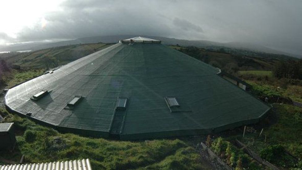 Enclosure in KyleaglannaEnclosure · 808 yd
 Enclosure in Jamestown (modeshil Par.)Enclosure · 936 yd
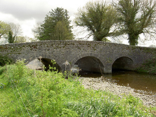 Islands Bridgebridge · 1.4 mi
 Fenane WoodForest · 1.6 mi
 St. Johns Monastery (in ruins)Castle, hall-house · 1.8 mi
 Pedunculate OakPedunculate Oak · 2.2 mi
 Knockuragh HillMountain / peak · 3.6 mi
 Edmund Rice Heritage CentreMuseum · 3.9 mi
 Callan Co-operative Agricultural & Dairy Society Ltd.Memorial · 4.0 mi
 Green StreetVisitor information · 4.0 mi
Other information
Photo: Credit not shown in the picture search · Rights wording not checked; contact us if this picture should be removed