What is recorded here
Tipperary is a historic town in Murgasty, Town Lot, Knockanrawley, Bohercrow, Carrownreddy, Collegeland, Garryskillane, County Tipperary, Ireland. It occupies a ridge above the River Ara where the Limerick-Waterford and Cashel-Kilmallock roads meet. The town probably developed as the principal manor of the Anglo-Norman cantred of Okonagh during the late 12th century, received murage grants in 1300 and 1310, and retained a rectangular medieval layout containing the church, graveyard and castle.
On a ridge, on the junction of the Limerick-Waterford road and the Cashel-Kilmallock road with the River Ara flowing roughly E-W to the S. It is likely that the town of Tipperary was the principal manor or caput of the Anglo-Norman cantred (an administrative area) of Okonagh (which included the eastern portion of the Tipperary barony of Clanwilliam, as well as portions of Limerick) and probably dates to the late 12th century. A motte and bailey (TS067-001----) c. 1.1km to the N and a motte (TS067-002----) c. 800m to the NW protect the northern and northwestern routes into the town. In 1215 the ‘vill’ or town of ‘Tibrari’ is mentioned in relation to the church there and in 1300 a reference to the ‘community of the town’ suggests that the town was incorporated at this stage (Bradley 1985, 56). Otto de Grandison, who held Clonmel, also held Tipperary town by 1281 (Thomas 1992, 194). It appears that the county court met at Tipperary until the Archbishop of Cashel moved it to Cashel, which was the subject of a legal case in 1297 (Thomas 1992, 194). The town was burned in 1329 by Brian O’Brian, however, there are references to the reeve (senior town official) and community up until 1432 (Bradley 1985, 56). There is historical evidence that the town was walled, though no physical evidence is visible at ground level. In 1300 a murage grant was given for a period of 10 years and in 1310 a further grant was give for a period of 3 years (Thomas 1992, 194). Based on the probable survival of the medieval town pattern on the modern town, it is suggested that the town consisted of an area of c. 15 hectares, roughly rectangular in shape, incorporating the church (TS067-004003-) and graveyard (TS067-004008-) in its NW angle and the castle (TS067-004002-) in the SE angle, with the river forming the southern boundary (Thomas 1992, 194-5). An Augustinian Friary (TS067-004001-) is located immediately S of the river. There is conflicting evidence of when this was founded, sources suggesting that this was either during the reign of Henry III (1216-1272) or later c.1300 by Stephen Butler (Gwynn and Hadcock 1970 (1988 reprint), 302). In the 15th century the town seems to have gone into decline and did not recover until the late 17th century. In 1660 the poll-tax returns for the town suggest a total population of c. 250, however, during the course of this decade the hearth-money records suggest that the town grew rapidly with the population almost doubling in size (Smyth 1991, 165).
Compiled by: Jean Farrelly
Date of upload: 09 June 2014
The monument record does not grant public access. Check the route and ask the landowner before entering private land.
- What survives
- Recorded monument
Places near here
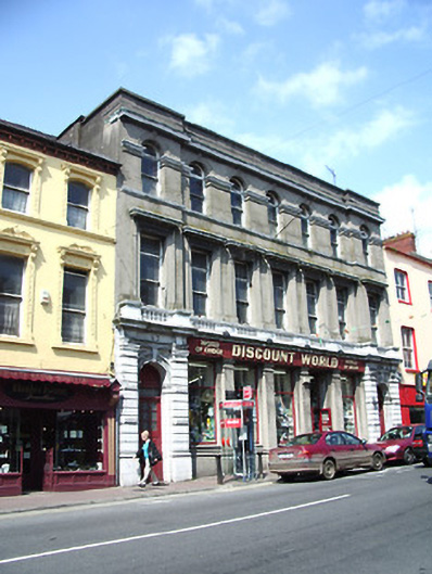 The Irish Houseschool · 38 yd
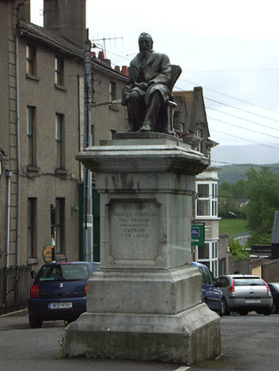 Kickham Monumentmonument · 45 yd
 It's a long way to TippereryHeritage attraction · 80 yd
 Site of AbbeyReligious house, Augustinian friars · 184 yd
 The Maid of ErinMemorial · 225 yd
 IndicatedHoly well · 438 yd
 Mutton Pie HillCastle, motte · 991 yd
 I.R.A. 3rd. Tipperary Brigade MemorialMemorial · 1265 yd
 MoatCastle, motte and bailey · 1293 yd
 The RockViewpoint · 2.5 mi
 European ashEuropean ash · 2.6 mi
 Christ the KingViewpoint · 3.0 mi