Places near here
Photo credits
- National Inventory of Architectural Heritage
- Golfing in Ireland; photographer not stated, Source publisher
- Gordon Hatton, Geograph · CC BY-SA 2.0
- Nigel Cox, Wikimedia Commons · CC BY-SA 2.0
- Seandálaí, Wikimedia Commons · CC BY-SA 4.0
- Kmcnamee, Wikimedia Commons · CC BY-SA 4.0
- Jonathan Thacker, Geograph · CC BY-SA 2.0
- Nomasoft, Wikimedia Commons · CC BY-SA 4.0
- Mike Searle, Wikimedia Commons · CC BY-SA 2.0
- El Gringo ( talk ) ( Uploads ), Wikimedia Commons · CC BY 2.5
- Colin Park, Geograph · CC BY-SA 2.0
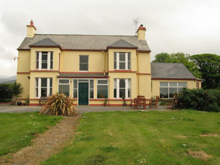 The Old PresbyteryHouse · 185 yd
Explorer Tom The Old Presbytery in Derrymihin West is perched on a hill overlooking the harbour. It’s got box bays and tripartite…
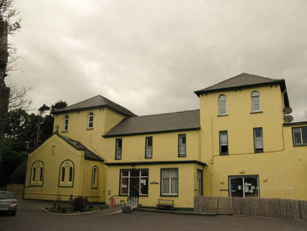 Harbour LodgeConvent/nunnery · 387 yd
Explorer Tom Harbour Lodge in Knockaneroe was a convent where nuns probably had tea with more flair than you do. Now it's a hostel…
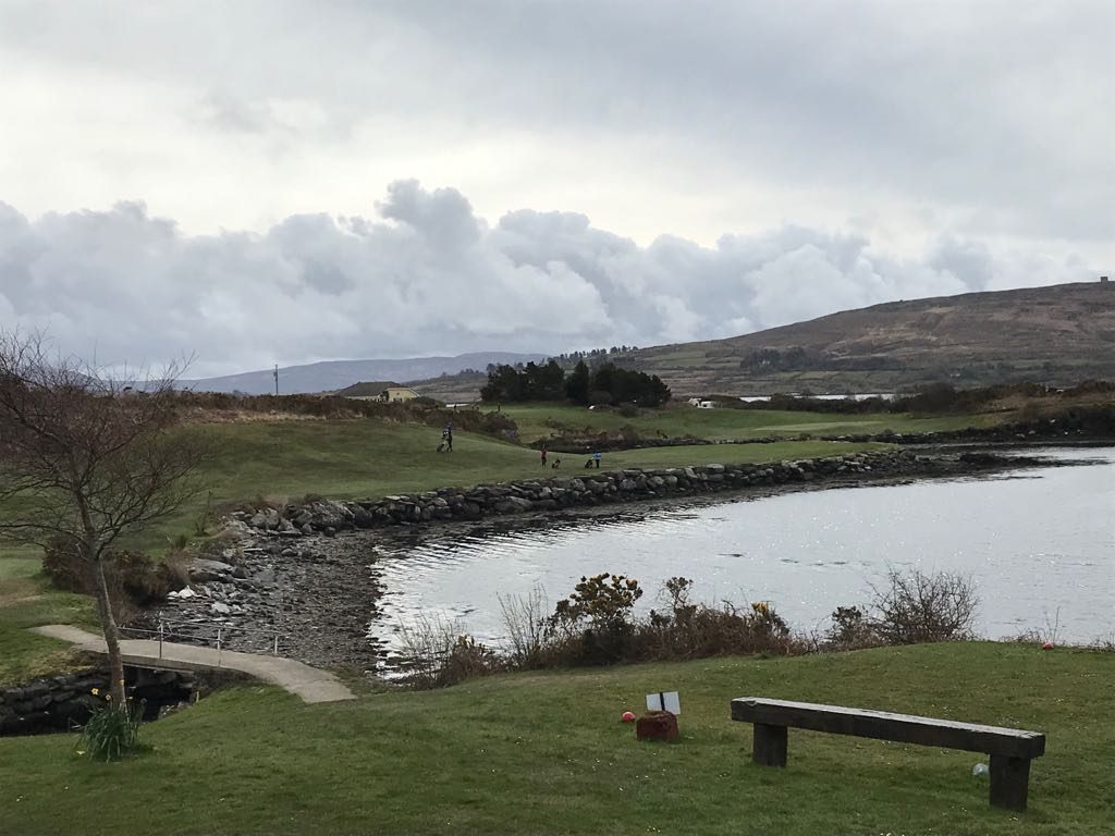 Berehaven Golf ClubGolf course · 525 yd
 Dinish IslandIslet · 759 yd
Explorer Tom Dinish Island in County Cork would bring a bottle of wine and a very bad playlist to any party it attended. It doesn’t…
 Derreenataggart Stone CircleArchaeological place · 1.0 mi
Explorer Tom Derreenataggart Stone Circle is a group of rocks that had one moment in 1846 where they almost became famous, but then…
 GallaunsStone circle, multiple-stone · 1.0 mi
Explorer Tom Gallauns in Derreenataggart West is a circle of twelve stones that looks like it’s waiting for the other three to show…
 Castletownbere GAA pitchGAA ground · 1.2 mi
 Eagle HillMountain / peak · 1.5 mi
Explorer Tom The other Eagle Hill exists because the map makers got confused and thought there were two eagles in the sky. It sits…
 Dunboy CastleCastle · 1.7 mi
Explorer Tom Dunboy Castle in County Cork has a tree growing right through it, which is nature saying 'move along, you are taking up…
 Castle (in Ruins)Castle, tower house · 1.7 mi
Explorer Tom Castle in Dunboy confuses map makers because it looks exactly where you’d expect a castle to be, but then it isn’t.…
 Siege of DunboySiege · 1.7 mi
Explorer Tom Siege of Dunboy is basically a county fair entry that never won anything but stubbornness. It just sits there, looking…
 KnockanalligMountain / peak · 2.4 mi
Explorer Tom Knockanallig is probably posting photos of its own summit on social media with hashtags like #BereIslandKing. It’s very…
More archaeology and monuments in County Cork · All of County Cork

What do you know about this place?Tap to add a comment or ask a question