
Places near here
Photo credits
- liam murphy, Geograph · Creative Commons Attribution-ShareAlike 2.0
- National Inventory of Architectural Heritage
- Mike Searle, Wikimedia Commons · CC BY-SA 2.0
- A.-K. D., Wikimedia Commons · CC BY-SA 4.0
- Donald Hobern from Copenhagen, Denmark, Wikimedia Commons · CC BY 2.0
- Lisamoriarty1, Wikimedia Commons · CC BY-SA 4.0
- Sarah777, Wikimedia Commons · CC BY-SA 3.0
- Humphrey Bolton, Geograph · Creative Commons Attribution-ShareAlike 2.0
- Didier Descouens, Wikimedia Commons · CC BY-SA 4.0
- Sarah777, Wikimedia Commons · Public domain
- Andy Ryan / 1803 Productions, credited by Kilkenny GAA, kilkennygaa.ie
 The Rower ChurchChurch/chapel · 121 yd
Explorer Tom The Rower Church has a prophecy about it that never came true, probably because the roof gave up halfway through. It’s…
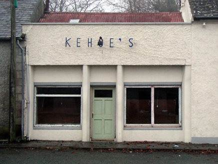 Kehoe'sShop/retail outlet · 148 yd
Explorer Tom Kehoe’s shop in Farrantemple was built by an owner whose escape plan involved running away while the roof was still on…
 Coolhill Castle (in ruins)Castle, tower house · 1.2 mi
Explorer Tom Coolhill Castle is a circular tower on a steep precipice, looking very smug about it. Its first owner’s escape plan was…
 The SpoutSpring · 2.4 mi
Explorer Tom The Spout in Ballinvarry has lost its actual spout part, which is like losing your nose but keeping the rest of your…
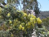 Silver Wattle2.5 mi
Explorer Tom Silver Wattle in County Carlow has strict rules: no screaming, no bad puns, and definitely no touching the bark without…
 St. Mullins MoatCastle, motte and bailey · 2.6 mi
Explorer Tom St. Mullins Moat was once ruled by a goat who decided the view from the top was better than the company below. The…
 St. MullinsHistoric town · 2.6 mi
Explorer Tom St. Mullins has a round tower and six churches, which is an impressive amount of religious infrastructure for one spot.…
 Graveyard in St. Mullin'sGraveyard · 2.6 mi
Explorer Tom Graveyard in St. Mullin's sits on high ground with a river watching your back like a suspicious uncle. It’s got round…
 St. Mullins WellHoly well · 2.7 mi
Explorer Tom St. Mullins Well is dry as a bone, which is rude for a holy water source. It’s basically a stone cup with no drink, so…
 Hawthorn3.5 mi
Explorer Tom Hawthorn in County Kilkenny was once ruled by a very confident goat who ate its best branches and never apologised…
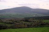 Brandon HillMountain / peak · 3.9 mi
Explorer Tom Brandon Hill gives Kilkenny a proper high point, beyond the county's castles and shops. From Graiguenamanagh the walk…
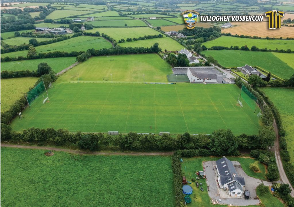 Tullogher Rosbercon GAA pitchGAA ground · 3.9 mi
More archaeology and monuments in County Kilkenny · All of County Kilkenny

What do you know about this place?Tap to add a comment or ask a question