
What is recorded here
Internal Dimensions 25m x 16m. An irregularly-shaped area, enclosed by a series of set stones, is marked 'the ring' on the OS 6-inch maps. Within the enclosure is a low mound which is probably natural and a (probably modern) trench. The interior is very wet. Outside the N section of wall is a seat-like structure known as 'the Chair' formed from a number of stones. 18.7m NW of this site is a subcircular arrangement of loose stones 20.6m in diameter. Inside this there is a smaller scatter of stones in a loosely circular arrangement 4.04m in diameter. The whole site here is very overgrown. WNW of the ring is a triangular-shaped standing stone 1.04m high and 0.47m NW-SE. The whole complex, which also includes disused field boundaries and other scatters of stone, is situated on poor boggy hill land. The above description was derived from the 'Archaeological Survey of County Donegal. A description of the field antiquities of the County from the Mesolithic Period to the 17th century.' Compiled by: Brian Lacey with Eamon Cody, Claire Cotter, Judy Cuppage, Noel Dunne, Vincent Hurley, Celie O'Rahilly, Paul Walsh and Seán Ó Nualláin (Lifford: Donegal County Council, 1983).
Internal Dimensions 25m x 16m. An irregularly-shaped area, enclosed by a series of set stones, is marked 'the ring' on the OS 6-inch maps. Within the enclosure is a low mound which is probably natural and a (probably modern) trench. The interior is very wet. Outside the N section of wall is a seat-like structure known as 'the Chair' formed from a number of stones. 18.7m NW of this site is a subcircular…
From the National Monuments Service (Archaeological Survey of Ireland) record DG094-017
The monument record does not grant public access. Check the route and ask the landowner before entering private land.
- What survives
- Recorded monument
Places near here
Photo credits
- louise price, Geograph · Creative Commons Attribution-ShareAlike 2.0
- National Inventory of Architectural Heritage
- louise price, Geograph · CC BY-SA 2.0
- D Gore, Geograph · CC BY-SA 2.0
- louise price, Wikimedia Commons · CC BY-SA 2.0
- Wikimedia Commons contributor shown on the public file page · Public domain
- Benson Wills, Wikimedia Commons · CC BY-SA 2.0
- Thielfer, Wikimedia Commons · CC BY-SA 4.0
- Gerald England, Geograph · CC BY-SA 2.0
- Stephan van Helden, Wikimedia Commons · CC BY-SA 4.0
- Becky McReynolds, Wikimedia Commons · CC BY-SA 4.0
 Aghlem BridgeBridge · 1.1 mi
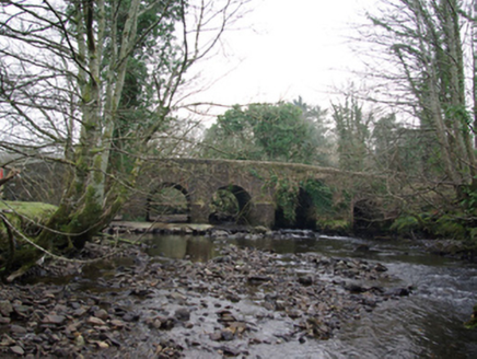 Tawnawully BridgeBridge · 1.4 mi
 Benson's HillMountain / peak · 2.9 mi
 Ard na Mona WoodOfficial walking route · 3.2 mi
 Drumrooske East RingfortFairy fort / earthen ringfort · 3.6 mi
 BarnesmoreMountain / peak · 4.0 mi
 Donegal Railway Heritage CentreMuseum · 4.1 mi
 Donegal CastleCastle, tower house · 4.3 mi
 Four Masters MemorialMemorial · 4.3 mi
 DonegalHistoric town · 4.3 mi
 Horse-chestnut4.4 mi
 Donegal Friary GraveyardGraveyard · 4.5 mi
More archaeology and monuments in County Donegal · All of County Donegal
What do you know about this place?