What is recorded here
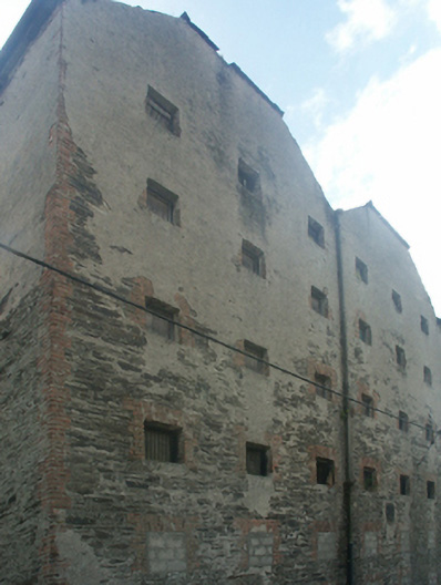
Archival Description [Demolished ----]: Detached six-bay (twelve-bay deep) six-storey double hipped gable-fronted malthouse, dated 1875, on a rectangular plan. Disused, 2007. Double hipped gable-fronted (north) and pitched (south) slate roof on collared timber construction with clay ridge tiles, and cast-iron rainwater goods on slate flagged eaves retaining cast-iron octagonal or ogee hoppers and downpipes. Part creeper- or ivy-covered lime rendered or roughcast coursed rubble stone walls with concealed red brick flush quoins to corners centred on cast-iron "Pattress" tie plates. Square-headed window openings with concealed red brick block-and-start surrounds framing remains of timber boarded fittings behind wrought iron bars. Lane fronted with concrete footpath to front.
Archival Appraisal [Demolished ----]: A malthouse erected by Patrick James Roche (1818-1905) of Woodville House (see 15702908) representing an important component of the later nineteenth-century industrial heritage of New Ross with the architectural value of the composition suggested by such attributes as the rectilinear plan form; the somewhat disproportionate bias of solid to void in the massing compounded by the uniform proportions of the openings on each floor; and the high pitched roofline. A prolonged period of neglect notwithstanding, the elementary form and massing survive intact together with substantial quantities of the original fabric, thus upholding the character or integrity of a malthouse making an imposing, if increasingly forlorn visual statement in Priory Lane.
This does not grant access. Most recorded buildings are privately owned; view them only from public ground unless the owner allows entry.
Places near here
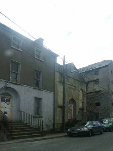 New Ross Religious Society of Friends' Meeting Housemeeting house · 32 yd
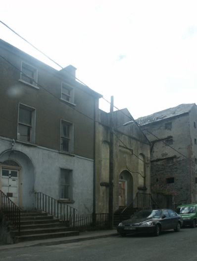 mansemanse · 41 yd
 Crutched FriarsMemorial · 79 yd
 Ros Tapestry ExhibitionGallery · 149 yd
 Dunbrody Famine Ship Visitor CentreHeritage attraction · 155 yd
 O'NeillMemorial · 301 yd
 Battle of New Ross (1798)Major battlefield · 452 yd
 Site of Dominican AbbeyReligious house, Dominican friars · 609 yd
 Brandon WellHoly well · 779 yd
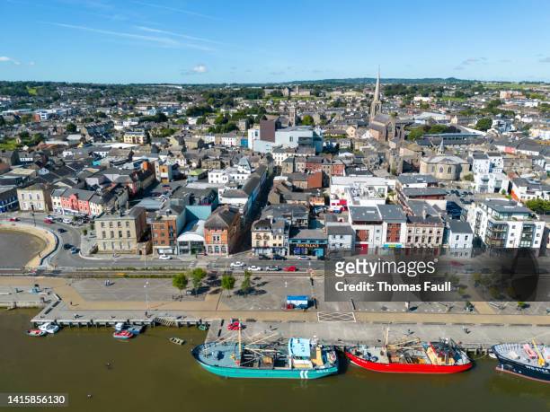 IndicatedBawn · 1.5 mi
 HawthornHawthorn · 2.2 mi
 Partridge HillMountain / peak · 2.7 mi
Other information
Photo: National Inventory of Architectural Heritage · Website use allowed for educational or private purposes with source credit