
What is recorded here
Described as the site of the Dominican abbey only on the 1839 ed. of the OS 6-inch map, and situated on the flood-plain of the N-S River Barrow/Nore with the stream c. 50m to the E. A Dominican friary known as St. Mary’s was reputedly founded in 1267 by the Graces or Walshes. It was dissolved in 1539 when it was described as a church with a belfry, a dormitory, a cemetery and four chambers, together with St. Saviour’s chapel (WX029-013011-) (Gwynn and Hadcock 1970, 229), but this last is not proven and the chapel was a possession of Dunbrody abbey (WX039-030001-) at the Suppression. A late 18th century print (Flynn 1981, Pl. 2) shows a nave and chancel with a tower, destroyed aisles and a N transept, and Lewis (1837, vol. 2, 553) describes a crossing tower and a wall with five arches and ten windows, but doubt must be cast on the validity of both (Manning 1998a, 125).
There are no visible remains of it at ground level, but archaeological monitoring of a drainage pipe (95E0086) identified a wall from the friary and burials associated with it (McCutcheon 1996). Further excavation (00E0828) to secure the site for pile-supported development did not disturb any medieval deposits (McCarthy, M. 2002).
The above description is derived from the published 'Archaeological Inventory of County Wexford' (Dublin: Stationery Office, 1996). In certain instances the entries have been revised and updated in the light of recent research.
Compiled by: Michael Moore
Date of upload/revision: 7 August, 2012
This remains an important historical record, but the official description says the monument is no longer visible or has been destroyed. The monument record does not grant public access. Check the route and ask the landowner before entering private land.
- What survives
- No visible remains or recorded as destroyed
Places near here
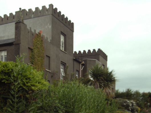 Rosbercon Castlecountry house · 183 yd
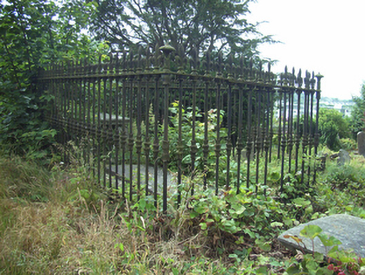 graveyard/cemeterygraveyard/cemetery · 215 yd
 Convent of Dominicans (Site of)Church · 231 yd
 Battle of New Ross (1798)Major battlefield · 361 yd
 O'NeillMemorial · 364 yd
 1798 MonumentMemorial · 396 yd
 DunbrodyHeritage attraction · 403 yd
 Dunbrody Famine Ship Visitor CentreHeritage attraction · 454 yd
 Rag WellHoly well · 1077 yd
 IndicatedBawn · 1.2 mi
 HawthornHawthorn · 2.0 mi
 Kylecorragh WoodForest · 2.6 mi
Other information
Photo: Credit not shown in the picture search · Rights wording not checked; contact us if this picture should be removed