What is recorded here
Described as ‘Brandon Well’ in gothic script on the 1839 and 1940 eds of the OS 6-inch map. It is situated in a quarry or grotto at the bottom of a SW-facing slope. This is a natural spring with a masonry surround (int. dims. 0.57m E-W; 0.45m N-S; H 0.5m) and a single lintel. It overflows into a modern pool (diam. c. 5m) with concrete surrounds and wooden benches. A second spring in the quarry channels into a drinking trough (diam. 0.6m) on the outside of the NW-SE estate wall, now known as Brandon Well. This trough overflows into a large rectangular trough (int. dims. 1.5m by 0.5m) for animals. A limestone plaque (dims. 0.5m x 0.5m) over the troughs says ‘Erected by the NRBC in 1885’. There is no evidence that either well was ever venerated.
Described as ‘Brandon Well’ in gothic script on the 1839 and 1940 eds of the OS 6-inch map. It is situated in a quarry or grotto at the bottom of a SW-facing slope. This is a natural spring with a masonry surround (int. dims. 0.57m E-W; 0.45m N-S; H 0.5m) and a single lintel. It overflows into a modern pool (diam. c. 5m) with concrete surrounds and wooden benches. A second spring in the quarry channels into a…
From the National Monuments Service (Archaeological Survey of Ireland) record WX029-022
The monument record does not grant public access. Check the route and ask the landowner before entering private land.
- What survives
- Recorded monument
Places near here
Photo credits
- National Inventory of Architectural Heritage
- Thommcg1980, Wikimedia Commons · CC BY-SA 4.0
- Didier Descouens, Wikimedia Commons · CC BY-SA 4.0
- Ryanforsyth9, Wikimedia Commons · CC BY-SA 4.0
- Hywel Williams, Geograph · CC BY-SA 2.0
- David Purchase, Wikimedia Commons · CC BY-SA 2.0
- A.-K. D., Wikimedia Commons · CC BY-SA 4.0
- Mike Searle, Wikimedia Commons · CC BY-SA 2.0
- Mike Searle, Geograph · CC BY-SA 2.0
 Brandon HouseHouse · 258 yd
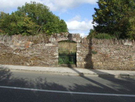 graveyard/cemetery473 yd
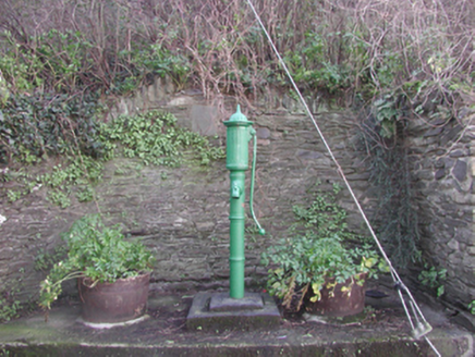 water pump658 yd
 1798 MonumentMemorial · 1228 yd
 Hawthorn2.5 mi
 1798 MonumentMonument · 2.8 mi
 Lacken HillMountain / peak · 2.8 mi
 Forest Of The DunbrodyForest · 2.9 mi
 SlievecoiltiaMountain / peak · 3.3 mi
 Rathclea Church (Site of)Church · 3.5 mi
_-_geograph.org.uk_-_7608906.jpg/250px-Castles_of_Leinster,_Tellarought,_Wexford_(1)_-_geograph.org.uk_-_7608906.jpg "Photo: Mike Searle, Wikimedia Commons · CC BY-SA 2.0") Castle (in ruins)Castle, tower house · 3.9 mi
Castle (in ruins)Castle, tower house · 3.9 mi Brownsford Castle (in Ruins)Castle, tower house · 6.6 mi
More archaeology and monuments in County Wexford · All of County Wexford
What do you know about this place?