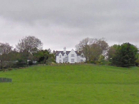
What is recorded here
Detached four-bay single-storey house with half-dormer attic, extant 1894, on a T-shaped plan off-centred on single-bay full-height gabled projecting breakfront abutting single-bay single-storey lean-to glazed porch. Occupied, 1911. Set in landscaped…
Read the whole record
From the Buildings of Ireland (National Inventory of Architectural Heritage) record 31311701
Places near here
Photo credits
- National Inventory of Architectural Heritage
- N Chadwick, Geograph · Creative Commons Attribution-ShareAlike 2.0
- Oliver Dixon, Geograph · CC BY-SA 2.0
- Western People; image filename attributes Google Maps, individual photographer not named, www.westernpeople.ie
- Maker not stated on source page, www.mayo-ireland.ie
- Maker not stated on source page, www.flickr.com
- Maker not stated on source page, ru.pinterest.com
- Maker not stated on source page, fi.pinterest.com
- Maker not stated on source page, fity.club
 The BarracksGarda station/constabulary barracks · 320 yd
Explorer Tom The Barracks in Cappaghduff East is a Garda station that looks like it’s been shrunk by a wizard. It has a featureless…
 Drimbawn HouseHunting/fishing lodge · 1672 yd
Explorer Tom Drimbawn House in Cappaghduff East is a hunting lodge that looks like it’s waiting for its next big game, which is…
 Cappaghduff CottageHouse · 1677 yd
Explorer Tom Cappaghduff Cottage is doing something suspicious when nobody's looking; I think it’s rearranging its own windows for…
 Christ Church (Ballyovey)Church/chapel · 1.1 mi
Explorer Tom Christ Church would put 'Rested Early' on its tombstone just to be cheeky about its own decay. It stands there looking…
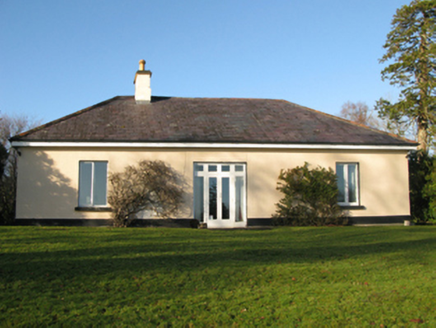 Toormakeady LodgeHunting/fishing lodge · 1.1 mi
Explorer Tom Toormakeady Lodge was built for a bishop who thought he could see everything from up there. The prophecy said it’d hold…
 Runnet HillMountain / peak · 1.6 mi
Explorer Tom Runnet Hill is currently in a feud with the rain because it keeps getting soaked. The hill wants to stay dry and sunny…
 Páirc Naomh Muire, Tourmakeady GAAGAA ground · 1.9 mi
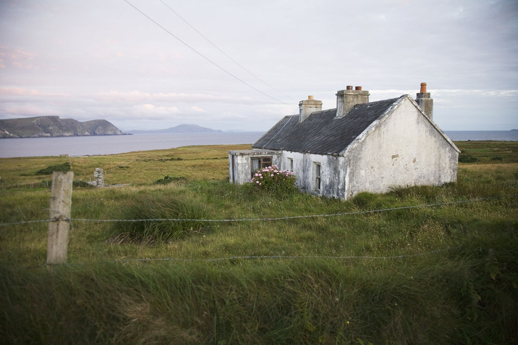 CarrigeennasassonagIslet · 2.2 mi
Explorer Tom Carrigeennasassonag claims to be older than the mountains but I’m pretty sure that’s just a wild claim it made up to…
 Stone row in LettereeneenStone row · 2.6 mi
Explorer Tom Stone row in Lettereeneen was once offered to a cow who wanted to buy the land with a shiny hoof. It overlooks Lough…
 Lusteen moreIslet · 3.3 mi
Explorer Tom Lusteen more in County Mayo would tell its younger self to stop trying so hard to be impressive, because it’s just a…
 Graveyard in Cuslough DemesneGraveyard · 4.0 mi
Explorer Tom Graveyard in Cuslough Demesne constantly complains to the council that the grass is too tall and damp for its dignity.…
 Stone sculpture in InishmaineStone sculpture · 4.3 mi
Explorer Tom Stone sculpture in Inishmaine has a family tree consisting entirely of 'unknowns' and 'maybe relatives'. I’m pretty…
More historic places in County Mayo · All of County Mayo

What do you know about this place?Tap to add a comment or ask a question