What is recorded here
Situated in Terryglass village with a medieval church and graveyard (TN006-003003-) immediately to the W. Described in the Civil Survey (1654-6) as 'upon the sd lands stands two ruined old castles and Bawnes totally demolished and fower cottages' (Simington 1934, 312). Several proprietors are listed in the Civil Survey, including 'Richard Butler of Ballyquircke[,]Donogh Kenedy of Tirraglass[,]Phillipp Hogan[,]Daniell Kenedy Irish Papists' (ibid.). According to the OS Letters the bawn occupied the site of the college of Terryglass and was erected during the reign of Queen Elizabeth I to secure the pass of the Shannon from attacks from Connacht (O'Flanagan 1930, vol. 3, 27). Roughly square shaped bawn (int. dims. 24m N-S; 23m E-W) built of roughly coursed limestone rubble, the S, E and W (T 1.4m) walls survive with no trace of the N wall above ground. The E wall has a slight external base-batter (H 1.23m; Wth 0.1-15m) and has been modified externally by the insertion of two plaques. The main entrance in the E wall is a rebated, round archway decorated with elaborate punch tooling and a knot, possibly a mason's mark on the lower S jamb. It had a two-leaf door, evidenced by two finely carved hanging-eyes and has two drawbar-holes. Above the doorway the bawn wall is slightly higher, containing two loops with corbels at their base. A concrete storage shed and toilets have been built up against the internal face of this wall, blocking the entrance. A large recess, also in this wall, with traces of wicker centring, houses two gun loops, which have been blocked up. The bawn was defended by a wall-walk with gun loops. At the N end of the W wall there is a doorway, with slight internal splay, internally accessed by steps as it is 1.5m above internal ground level. A number of putlog-holes in this wall suggest that wooden hoarding or buildings were built up against it. A concrete shed now utilises the internal wall-face. There is a bartizan at the SW angle, only the circular base survives supported on pyramidal corbels. The S wall survives at a lower level than the W wall and what remains of the wall-walk has been capped with concrete. Vol. 1 - North Tipperary' compiled by Jean Farrelly and Caimin O'Brien (Dublin: Stationery Office, 2002).
Situated in Terryglass village with a medieval church and graveyard (TN006-003003-) immediately to the W. Described in the Civil Survey (1654-6) as 'upon the sd lands stands two ruined old castles and Bawnes totally demolished and fower cottages' (Simington 1934, 312). Several proprietors are listed in the Civil Survey, including 'Richard Butler of Ballyquircke[,]Donogh Kenedy of Tirraglass[,]Phillipp…
From the National Monuments Service (Archaeological Survey of Ireland) record TN006-003004
The monument record does not grant public access. Check the route and ask the landowner before entering private land.
- What survives
- Recorded monument
Places near here
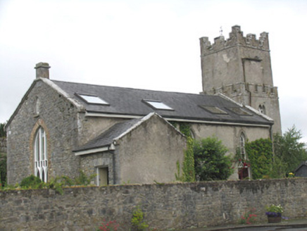 Saint Columba's Church (Terryglass)Church/chapel · 75 yd
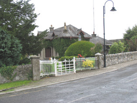 Elm VilleHouse · 98 yd
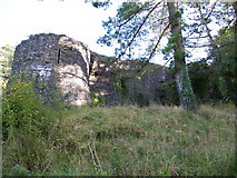 Old CourtCastle, Anglo-Norman masonry castle · 822 yd
 Church IslandIslet · 2.2 mi
 Common Juniper2.2 mi
 Black mulberry2.2 mi
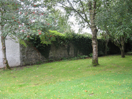 Portumna CastleWalled garden · 2.2 mi
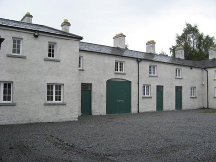 Portumna CastleStables · 2.2 mi
 Castle (in ruins)House, fortified house · 2.3 mi
 Friar's IslandIslet · 4.2 mi
 Sheela-na-gig in BallyfinboySheela-na-gig · 4.7 mi
 BorrisokaneHistoric town · 5.2 mi
Pictures: National Inventory of Architectural Heritage; dougf, Geograph · CC BY-SA 2.0; Jason Keane, Geograph · CC BY-SA 2.0; Rasbak at Dutch Wikipedia, Wikimedia Commons · CC BY-SA 3.0; Maker named on the Wikimedia Commons picture page · Public domain; C O'Flanagan, Geograph · CC BY-SA 2.0; Liffernet, Wikimedia Commons · CC BY-SA 4.0; Dylan Moore, Geograph · CC BY-SA 2.0
More castles and forts in County Tipperary · All of County Tipperary
What do you know about this place?