What is recorded here
Luttrell's Pass, Bloody Hollow and St Ruth's monuments still mark the Aughrim battlefield where Jacobite and Williamite armies clashed in 1691. The names have turned a fatal day into a route through Galway's fields, keeping the danger and sorrow of the battle present in ordinary land.
The site of the Battle of Aughrim, fought on 12th July 1691, extends over nine townlands in undulating farm and bogland to E and S of the village of Aughrim; Attibrassil, Attidermot, Coololla, Cloonameragaun, Foats or Levallynearl, Kilcommadan, Kinnaveelish, Tristuan and Urraghry (Hayes-McCoy 1969, 241). It was contested by Jacobite forces, under the command of Lieut.-General the Marquis de St Ruth, and the Royalists, led by Lieut.-General Ginkel. The Jacobite positions were ranged E-facing slopes of Aughrim Hill, extending for c. 2.5km from Aughrim Castle (GA087-055----) at N to Attibrassil Bridge at S. A number of placenames connected with the battle are marked on OS 6-inch maps, most notably 'Luttrell's Pass', in Coololla td. and 'The Bloody Hollow' in Kilcommadan (OS 3rd. ed. 1946). A number of monuments are also associated in particular with Lieut.-General St Ruth: GA087-004----, GA087-126003-, GA087-125----. The initial positions of the victorious Williamite army, including their artillery, were ranged in a broad arc, c. 3km long, from Melehan Bridge at N, across Urraghy Hill, to Attibrassil and Tristaun at S (ibid. 1942, 14-20).
The above description is derived from the published 'Archaeological Inventory of County Galway Vol. II - North Galway'. Compiled by Olive Alcock, Kathy de hÓra and Paul Gosling (Dublin: Stationery Office, 1999).
Date of upload: 05 August 2010
The monument record does not grant public access. Check the route and ask the landowner before entering private land.
- What survives
- Recorded monument
Places near here
 IndicatedFairy fort / earthen ringfort · 307 yd
 The bloody HollowHeritage attraction · 326 yd
 Battle of AughrimMajor battlefield · 482 yd
 Gerneral St. Ruths or Aughrim FortFairy fort / earthen ringfort · 688 yd
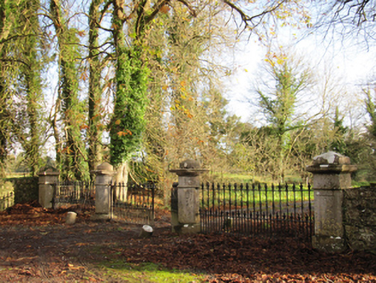 Liskelly Housedemesne walls/gates/railings · 1386 yd
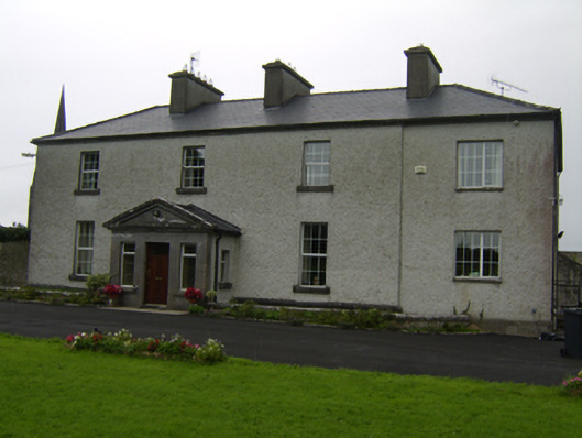 The Rectoryrectory/glebe/vicarage/curate's house · 1516 yd
 Battle of Aughrim Interpretative CentreMuseum · 1528 yd
 Castle (Site of)Castle, Anglo-Norman masonry castle · 1.0 mi
 Urraghry HillMountain / peak · 1.3 mi
 Oak WoodWood · 1.8 mi
 Ballagh Castle (in Ruins)Castle, unclassified · 1.9 mi
 West WoodWood · 2.6 mi