
What is recorded here
Aughrim Fort is a subcircular earthen ring on the summit of Aughrim Hill in County Galway, Ireland, where some accounts place the death of Lieut.-General the Marquis de St Ruth during the Battle of Aughrim, while others move that moment seven hundred metres southeast into the Bloody Hollow. The bank still stands thirty-nine metres across, enclosing a space small enough that a general’s last breath may have filled it entirely before the wind took it. Whether St Ruth bled inside the fort or beside it, the hill kept the shape of the event, and the uncertainty gives the place its edge.
On the summit of Aughrim Hill. According to Harbison (1975, 88), this Nat. Mon. is the place where Lieut.-General the Marquis de St Ruth died during the Battle of Aughrim (GA087-127----). However, Hayes-McCoy (1942, 18-19) places this event 700m to SE in the area marked on OS 6-inch maps as the 'The Bloody Hollow'. It consists of a subcircular rath (E-W 39m, N-S 33m), in fair condition, defined by a bank. Traces of a possible external fosse survive from NW to N. A gap at E may be original. There is a named bush (GA087-005----) 230m to NE.
The above description is derived from the published 'Archaeological Inventory of County Galway Vol. II - North Galway'. Compiled by Olive Alcock, Kathy de hÓra and Paul Gosling (Dublin: Stationery Office, 1999).
Date of upload: 05 August 2010
This monument was taken into Ownership under the National Monuments Acts 1930 to 2014 - National Monument 371.
GA087-004---- Aughrim 001.jpg
The monument record does not grant public access. Check the route and ask the landowner before entering private land.
- What survives
- Recorded monument
Places near here
 IndicatedFairy fort / earthen ringfort · 305 yd
 Battle of AughrimMajor battlefield · 406 yd
 Enclosure in Garrynamishaun OR Aughrim Plots,kilcommadanEnclosure · 436 yd
 The bloody HollowHeritage attraction · 881 yd
 Battle of Aughrim Interpretative CentreMuseum · 1104 yd
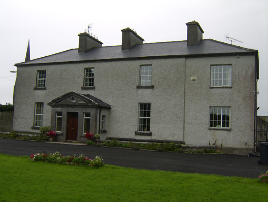 The Rectoryrectory/glebe/vicarage/curate's house · 1239 yd
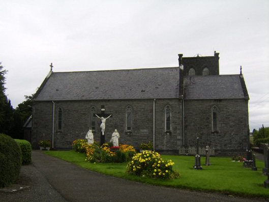 Saint Catherine's Catholic Churchchurch/chapel · 1242 yd
 Castle (Site of)Castle, Anglo-Norman masonry castle · 1468 yd
 Oak WoodWood · 1.5 mi
 Urraghry HillMountain / peak · 1.5 mi
 Ballagh Castle (in Ruins)Castle, unclassified · 2.3 mi
 West WoodWood · 2.8 mi
Other information
Photo: Credit not shown in the picture search · Rights wording not checked; contact us if this picture should be removed