
What is recorded here
Marked on the 1839 and 1925 eds of the OS 6-inch map where it is described in italic lettering as Templeshelin Well, although the location on the earlier map is c. 80m to the N of the present well. This is situated in a small NNW-SSE valley with a stream c. 15m to the E. It is a natural spring with no evidence of veneration.
Compiled by: Michael Moore
Date of upload: 16 August, 2012
linked to St. Helen, a well-known early Christian saint venerated across Ireland for her healing powers. The well was traditionally visited for cures related to eye ailments and general health, with rituals often involving the collection of water on specific feast days.
The monument record does not grant public access. Check the route and ask the landowner before entering private land.
- What survives
- Recorded monument
Places near here
 Site of ChurchChurch · 86 yd
 Embanked enclosureFairy fort / earthen ringfort · 665 yd
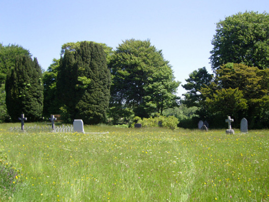 Saint Peter's Church (Adamstown)graveyard/cemetery · 826 yd
 Carrickmastia HillMountain / peak · 1683 yd
 farm housefarm house · 1.4 mi
 Castle (in ruins)Castle, tower house · 1.9 mi
 Glenour MonumentMemorial · 2.1 mi
 Carrickbyrne HillMountain / peak · 2.5 mi
 Castle in ruinsCastle, tower house · 2.7 mi
 Forest Of The DunbrodyForest · 4.9 mi
 1798 RebellionMemorial · 5.4 mi
 Coolcliffe HouseRuins · 7.7 mi
Other information
Photo: Credit not shown in the picture search · Rights wording not checked; contact us if this picture should be removed