Places near here
Photo credits
- John Aidan Cawley, Geograph · Creative Commons Attribution-ShareAlike 2.0
- National Inventory of Architectural Heritage
- Kenneth Allen, Geograph · CC BY-SA 2.0
- Kenneth Allen, Wikimedia Commons · CC BY-SA 2.0
- Donegal Daily; photographer not named, Source publisher
- Caroline McLaughlin / Donegal Live, Source publisher
- Andreas F. Borchert, Wikimedia Commons · CC BY-SA 4.0
- Picture: Think Business
- Picture: Barrack Hill Town Park
 St. Patrick's Catholic ChurchChurch/chapel · 652 yd
Explorer Tom Don't let the plain outside fool you, because inside this Templemoyle chapel hides a real surprise with its marble…
 Faherna CottageHouse · 894 yd
Explorer Tom Faherna Cottage in Dunross has been sheltering locals since c. 1850, long enough to see families come and go like…
 McGuinness’Pub · 1.6 mi
Explorer Tom McGuinness’ in Culdaff Main Street probably has a sign that says 'No Dogs Except This One,' showing clear favoritism. I…
 Culdaff ArmsPub · 1.6 mi
Explorer Tom Culdaff Arms is definitely where you go if your arm hurts from carrying too many heavy bags or emotional baggage. The…
 IndicatedGraveyard · 1.6 mi
Explorer Tom Graveyard in Culdaff is where road workers actually pulled human bones out of the dirt during widening works. It’s a…
 GraveyardBurial ground · 1.7 mi
Explorer Tom Graveyard in Culdaff is marked as an early ecclesiastical site, supposedly founded by St Buadan, but there’s barely…
 Connolly Park, MalinGAA ground · 2.2 mi
Explorer Tom Connolly Park is Malin’s proud patch of Gaelic games, up near the tip of Inishowen where an away team has already had…
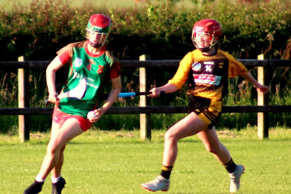 Páirc O’Dochartaigh, CarndonaghGAA ground · 2.4 mi
Explorer Tom Páirc O’Dochartaigh is Carndonagh’s Gaelic games home at Foden, where football, hurling and camogie have all found room…
 CastleCastle, unclassified · 2.4 mi
Explorer Tom Castle in Carthage may survive only as shapeless stone mounds on a promontory. The survey thought they might belong to…
 CuldaffOfficial bathing water · 2.5 mi
Explorer Tom Culdaff Beach has the good sense to offer both a big sandy stretch and smaller rocky corners, because apparently one…
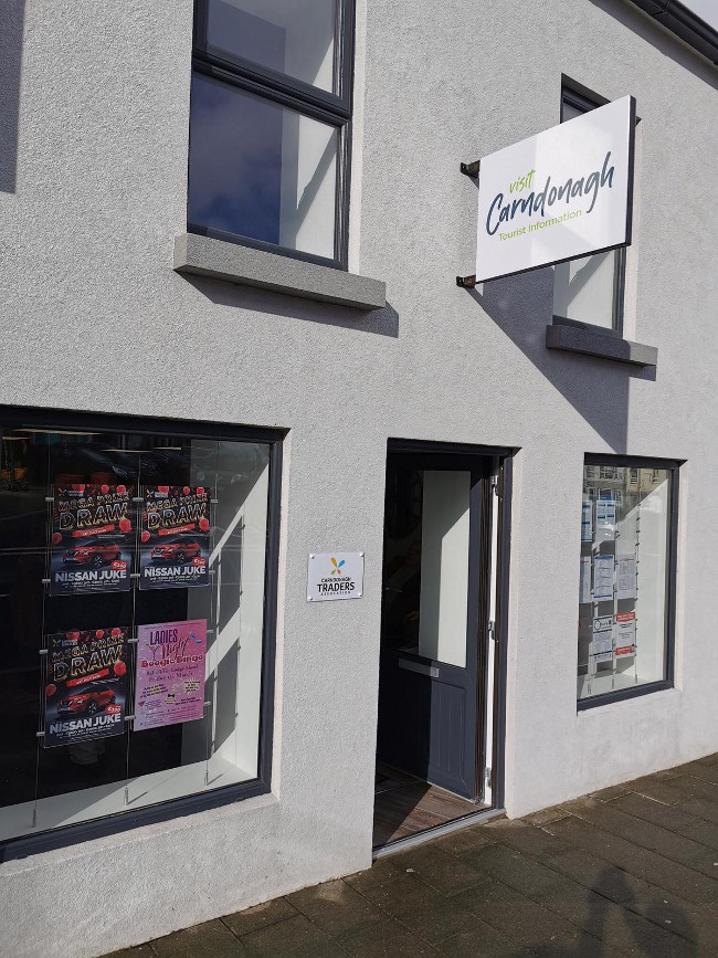 Visit CarndonaghVisitor information · 3.2 mi
Explorer Tom Visit Carndonagh in County Donegal is where the builder was really thinking, 'I’ll just put this here and hope nobody…
 Barrack Hill Community GardensGarden · 3.3 mi
Explorer Tom Follow the growers on Barrack Hill and you will find sixteen raised beds and three polytunnels. One starts the…
More archaeology and monuments in County Donegal · All of County Donegal

What do you know about this place?Tap to add a comment or ask a question