
What is recorded here
On fairly level ground at the foot of a range of low hills, at the rear of modern farm buildings, in good pasture. According to Carrigan (1905, vol. 2, 299) Donaghmore was, 'a distinct parish down to the Reformation, when it was united to Fertagh. It was appropriated to Fertagh Priory at an early date. The parish church, dedicated to St. Patrick, was called in Irish Teampall Domhnaigh Mhóir. It was divided into nave and chancel, of which the former has been effaced; the latter was 26 ft. [c. 7.9m] long, but its foundations only remain'. There appears to have been more visible some years earlier as Moore (1874-9, vol. 1, 36-7) describes, 'the nave is about 40 feet [12m] long, and the transept [presumably chancel], which is narrower than the nave, is about 20 feet [6m] long. It looks east and west. The breadth of nave is 20 feet [6m]; that of the church [chancel] 16 [c. 4.8m]'. When visited in 1986 traces of the rectangular church (L c. 22m; W c. 6m) were visible extending E-W in the N part of the irregularly shaped graveyard (KK008-115002-).
Compiled by: Jean Farrelly
Date of upload: 22 January 2018
A local church or high cross; wider significance not recorded.
The monument record does not grant public access. Check the route and ask the landowner before entering private land.
- What survives
- Recorded monument
Places near here
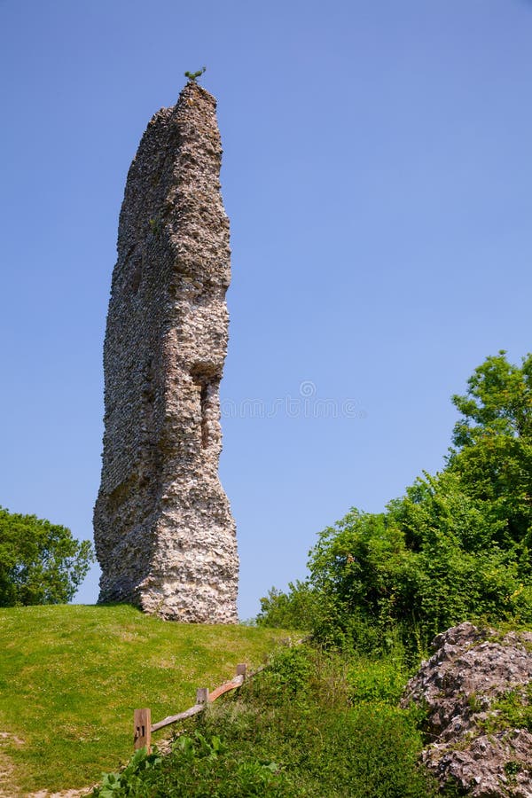 CastleCastle, ringwork and bailey · 820 yd
 The Old Rectoryrectory/glebe/vicarage/curate's house · 1120 yd
 John HelyMemorial · 1215 yd
 Saint Mary's Church (Fertagh)church/chapel · 1224 yd
 Enclosure in Ballycuddihy (galmoy By.))Enclosure · 1238 yd
 Enclosure in FoulkscourtEnclosure · 1337 yd
 DelaneyMemorial · 1408 yd
 Clomantagh HillMountain / peak · 1.3 mi
 IndicatedBawn · 2.1 mi
 Street fieldArchaeological place · 3.1 mi
 Kildrinagh WoodForest · 4.1 mi
 Anker's IslandIsland · 8.9 mi
Other information
Photo: Credit not shown in the picture search · Rights wording not checked; contact us if this picture should be removed