What is recorded here
Temple Dermot stood on a southern terrace above Kenmare Bay, guarding a grave for Dearmuid O'Dinna inside its walls. The mountain swallowed the chapel until even its stones vanished, leaving only a memory marked on old maps. A nearby hut foundation still protrudes through the grass, proving that human hands shaped this remote pocket long before forgetting arrived.
Temple Dermot / Teampall Diarmada: A rectangular structure (KE082-022001-) is indicated at this location on the first edition of the OS map and is marked ‘site of’ on the second edition.
It was located on a level terrace on the S side of Mullaghanattin mountain, in a coom known as 'The Pocket'. It affords extensive views to S over Kenmare Bay and the Beara Peninsula. No trace of the site survives.
It was recorded in the OSNB as the 'ruins of a small house' that contained the grave (KE082-022003-) of 'Dearmuid O'Dinna' in its SW corner (Templeno, 22). In the OSRNB it was recorded as 'the site of an ancient church or hermitage of Dermot'. The nature of this site is unclear. The foundations of a small hut (KE082-069----) are located about 100m to the SE.
The above description is derived from A. O'Sullivan and J. Sheehan (compilers), 'The Iveragh peninsula: an archaeological survey of South Kerry'. Cork University Press (1996), no. 942. In certain instances the entries have been revised and updated in the light of recent research.
Date of upload: 30 July 2013
The monument record does not grant public access. Check the route and ask the landowner before entering private land.
- What survives
- Recorded monument
Places near here
 Hut site in CoomlumminyHut site · 100 yd
 MullaghanattinMountain / peak · 1129 yd
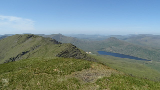 Beann NE TopMountain / peak · 1391 yd
 Ballaghbeama GapViewpoint · 1.5 mi
 Hut site in Gortacloghane (dunkerron South By.)Hut site · 1.6 mi
 RoadRoad, road/trackway · 5.7 mi
 Blackwater Cottagehouse · 6.0 mi
 CarrauntoohilMountain / peak · 6.4 mi
 De Gaulle MemorialMonument · 6.6 mi
 Sneem Commemoration PlaqueMemorial · 6.6 mi
 Dromore CastleCastle · 6.7 mi
 Rossmore IslandIsland · 7.0 mi