
What is recorded here
On a gentle rise in hilly fertile pasture. Hachured as a ringfort on the 1840 and 1917 OS 6-inch maps and named ‘Teerleheen Fort’ on the 1917 edition. Listed as ‘Enclosure’ in the SMR (1992) and the RMP (1996). A school was built on the site of the ringfort in 1941 and there is no trace of the site at ground level.
Compiled by: Mary Tunney
Date of upload: 19 November 2025
Teerleheen Fort is a ringfort situated on a gentle rise in hilly pasture, depicted as such on early 19th- and early 20th-century Ordnance Survey maps. While no specific folklore is recorded, its early-medieval date is likely, given the typical chronology of such sites in Ireland.
This remains an important historical record, but the official description says the monument is no longer visible or has been destroyed. The monument record does not grant public access. Check the route and ask the landowner before entering private land.
- What survives
- No visible remains or recorded as destroyed
Places near here
 Ardmore FortEnclosure · 747 yd
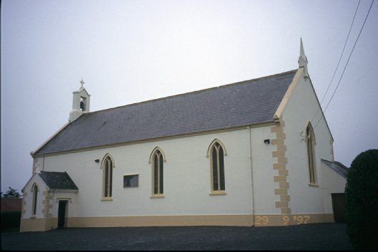 Saint Columba's Catholic Churchchurch/chapel · 882 yd
 Enclosure in CahersherkinEnclosure · 1246 yd
 Fort Ho.Bawn · 1552 yd
 Penitential station in CahersherkinPenitential station · 1.1 mi
 CastleCastle, unclassified · 1.9 mi
 Famine MemorialMemorial · 3.5 mi
 European ashEuropean ash · 3.6 mi
 Kilmanahn GraveyardRuins · 3.7 mi
 Burren Centre KilfenoraVisitor information · 4.0 mi
 High CrossHeritage attraction · 4.1 mi
 TullygarvanWood · 4.6 mi
Other information
Photo: Credit not shown in the picture search · Rights wording not checked; contact us if this picture should be removed