Places near here
Photo credits
- Maker not stated on source page, www.flickr.com
- Maker not stated on source page, www.vecteezy.com
- Maker not stated on source page, www.dreamstime.com
- Maker not stated on source page, www.wildernessireland.com
- National Inventory of Architectural Heritage
- Newbert12, Wikimedia Commons · CC BY-SA 4.0
- Britishfinance, Wikimedia Commons · CC BY-SA 4.0
- Michael Earnshaw, Geograph · CC BY-SA 2.0
- Maker not stated on source page, en.wikipedia.org
- Enjoy Irish Culture; photographer not stated, Enjoy Irish Culture
 Standing stoneStanding stone, pair · 1547 yd
Explorer Tom Na Cnocáin Bhána is where a smuggler hid a crate of whiskey, allegedly. The white quartz stones look way too fancy for…
 Stone row in Cartrún An PhónaStone row · 1651 yd
Explorer Tom Stone row in Cartrún An Phóna refuses to fall down because it’s got too much pride to admit it’s tired after standing…
 Fairy fort / stone ringfort in Na GrigíneachaFairy fort / stone ringfort · 1.1 mi
Explorer Tom Na Grigíneacha’s ringfort would teach history by shouting about how much a field wall ruins your day. It’s sitting on a…
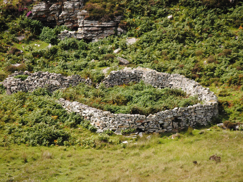 Fairy fort / earthen ringfort in GowlaunleeFairy fort / earthen ringfort · 1.2 mi
Explorer Tom Fairy fort / earthen ringfort in Gowlaunlee is playing hard to get with its missing outer bank. It’s got a secret…
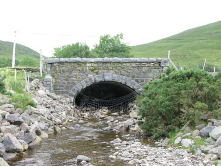 bridge1.6 mi
Explorer Tom Bridge in Munterowen East is showing off its rusticated limestone voussoirs like they’re high fashion. It’s a…
 Eaglais Breith Chríost [Catholic Church of the Nativity]Church/chapel · 2.1 mi
Explorer Tom Eaglais Breith Chríost in Kilmeelickin has a bullet hole from the Black and Tans, proving ghosts get lazy sometimes.…
 post box2.2 mi
Explorer Tom This post box in Breenaun started because two lads made a bet in the pub that they could get mail delivered faster than…
 Leenaun HillMountain / peak · 2.3 mi
Explorer Tom Leenaun Hill used to be run by a matchmaker who paired off clouds with mountains based on how well they looked together…
 Letterbreckaun ne TopMountain / peak · 2.3 mi
Explorer Tom Letterbreckaun NE Top thinks Dublin tourists are just people who forgot their sense of direction and their dignity on…
 Breenane GraveyardGraveyard · 3.3 mi
Explorer Tom Breenane Graveyard is where Vikings supposedly got lost looking for it because they couldn't read the map or the trees.…
 Joyce Country SheepdogsHeritage attraction · 4.4 mi
Explorer Tom At Joyce Country Sheepdogs near Shanafaraghaun, a Border Collie can make a hillside full of Connemara Blackface sheep…
 Low IslandIslet · 6.4 mi
Explorer Tom Low Island smells like old gym socks and regret, according to Tom, who claims he took a deep breath and immediately…
More mountains and hills in County Galway · All of County Galway

What do you know about this place?Tap to add a comment or ask a question