What is recorded here
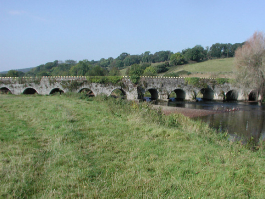
Eleven-arch rubble stone road bridge over river, c.1700. Repaired, c.1975. Random rubble stone walls with lime mortar, cut-stone triangular cut-waters, and replacement concrete coping, c.1975, to parapets. Series of eleven round arches with limestone ashlar voussoirs having chamfered reveals, and squared rubble stone soffits having replacement cement render, c.1975, over. Sited spanning River Bride (and flood plain) with grass banks to river.
An elegantly-proportion substantial bridge forming an imposing landmark on the River Bride, and in the centre of Tallowbridge. The traditional construction in rubble stone serves to integrate the bridge into the surrounding landscape, while the profile of the arches identifies the civil engineering heritage significance of the composition. The bridge is one of the earliest-surviving bridges in County Waterford, and is possibly of some archaeological importance.
From the Buildings of Ireland (National Inventory of Architectural Heritage) record 22902806
This does not grant access. Most recorded buildings are privately owned; view them only from public ground unless the owner allows entry.
Places near here
Photo credits
- National Inventory of Architectural Heritage
- Mike Searle, Geograph · CC BY-SA 2.0
- Jonathan Billinger, Geograph · CC BY-SA 2.0
- Hywel Williams, Geograph · CC BY-SA 2.0
- Photo-raven, Wikimedia Commons · CC BY-SA 4.0
- Ftlombardo, Wikimedia Commons · CC BY 3.0
- Willow, Wikimedia Commons · CC BY 2.5
- Jonathan Thacker, Geograph · Creative Commons Attribution-ShareAlike 2.0
 BrideviewHouse · 37 yd
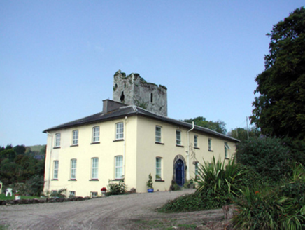 Lisfinny HouseHouse · 735 yd
 Lisfinny CastleCastle · 769 ydTallow HillMountain / peak · 1352 ydEnclosure in GarrybrittasEnclosure · 1.5 mi
 Sheanmore Castle (in ruins)Castle, tower house · 3.0 mi
 Ballysaggartmore TowersVisitor information · 3.5 mi
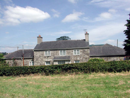 Lismore CastleFarm house · 3.7 mi
 Ballysaggartmore TowersHeritage attraction · 3.8 mi
 Red Maple4.1 mi
 European ash4.1 mi
 Graveyard4.9 mi
More historic places in County Waterford · All of County Waterford
What do you know about this place?