What is recorded here
Marked as a rectangular enclosure on a Scalé map (NLI: MSS 7218, 16) dated 1774. Situated towards the bottom of a S-facing slope, it is not visible at ground level. Revised by: Michael Moore
Date of upload: 19 October 2011
From the National Monuments Service (Archaeological Survey of Ireland) record WA028-009
The monument record does not grant public access. Check the route and ask the landowner before entering private land.
- What survives
- Recorded monument
Places near here
Photo credits
- National Inventory of Architectural Heritage
- Mike Searle, Geograph · CC BY-SA 2.0
- Jonathan Billinger, Geograph · CC BY-SA 2.0
- Hywel Williams, Geograph · CC BY-SA 2.0
- Photo-raven, Wikimedia Commons · CC BY-SA 4.0
- Ftlombardo, Wikimedia Commons · CC BY 3.0
- Willow, Wikimedia Commons · CC BY 2.5
- Jonathan Thacker, Geograph · Creative Commons Attribution-ShareAlike 2.0
 Ballymartin HouseFarm house · 905 yd
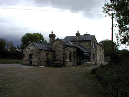 Tallow Road Railway StationRailway station · 1084 ydEmbanked enclosureFairy fort / ringfort · 1.0 miTallow HillMountain / peak · 1.1 mi
 Lisfinny CastleCastle · 1.4 mi
 Sheanmore Castle (in ruins)Castle, tower house · 2.3 mi
 Ballysaggartmore TowersVisitor information · 2.4 mi
 Ballysaggartmore TowersHeritage attraction · 2.6 mi
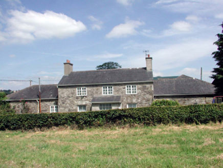 Lismore CastleFarm house · 3.1 mi
 Red Maple3.4 mi
 European ash3.5 mi
 Graveyard5.7 mi
More archaeology and monuments in County Waterford · All of County Waterford
What do you know about this place?