
Places near here
Photo credits
- Kieran Campbell, Geograph · Creative Commons Attribution-ShareAlike 2.0
- National Inventory of Architectural Heritage
- Oliver Dixon, Geograph · CC BY-SA 2.0
- Eric Jones, Geograph · Creative Commons Attribution-ShareAlike 2.0
- Wanfried-Dublin, Wikimedia Commons · CC BY-SA 4.0
- Stephan van Helden, Wikimedia Commons · CC BY-SA 4.0
 St Joseph's Roman Catholic ChurchChurch/chapel · 1.1 mi
Explorer Tom St Joseph's Roman Catholic Church in Corlea is an Emancipation-period beauty with fireclay details that make it look like a fancy oven. A goat once ruled it, probably because the priest was on holiday. Grand place for thinking you’re holy.
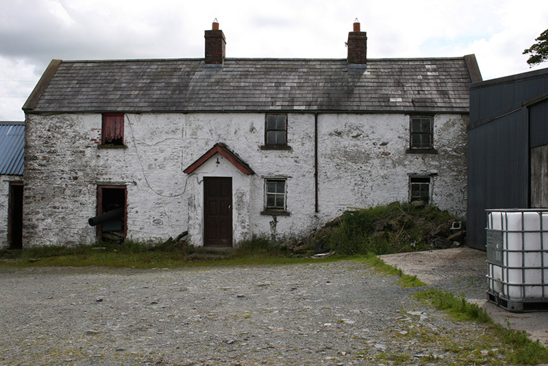 farm house1.1 mi
Explorer Tom Farm house in Taghart South is nestled into a hill like it’s hiding from the neighbours or a very bad date. It has sash windows that probably only open when it feels like it. Wave at the house, or the curse hits your kneecaps.
RaferaghMountain / peak · 1.9 miCornamaghMountain / peak · 2.0 miExplorer Tom Cornamagh in Cavan started because two lads bet that if they could name a hill after a type of grass, it would become famous overnight. They lost the bet, but the name stuck anyway, which is the funniest part about the whole ridiculous situation. Get a photo with it before it gets a better agent.
Green IslandIsland · 2.4 miExplorer Tom Green Island in County Cavan won the lottery last Tuesday and spent it all on a very expensive hat. It’s trying to look sophisticated now, but I think it just wants to buy more grass. Whisper a secret at it, it's kept worse.
 Bush IslandIslet · 3.2 mi
Explorer Tom Bush Island would survive a zombie attack by just being too small for them to bother with. It’s basically an impenetrable fortress of pure indifference and moss. Pop by and tell it it's looking well.
 Graveyard3.5 mi
Explorer Tom Graveyard in Killan sits on a knoll watching the stream head for Milltown Lough, judging your life choices as you pass. Stand back, squint, and it looks like a castle if you're desperate enough to see one.
 Fair of MuffVisitor information · 3.6 mi
Explorer Tom Fair of Muff in County Cavan would order a mountain of chips and a pint if it could walk into a chippy. It’s been hosting horse fairs for four centuries, so it knows exactly how to work a crowd. Perfect place to be dramatically windswept while pretending you planned the hairdo.
 LoughanleaghForest · 3.8 mi
Explorer Tom Loughanleagh in County Cavan is a forest that got left behind at a party and never quite figured out what it was supposed to be doing there. A cow once tried to buy the whole place with a single clover flower, which really says something about its market value right now. Bring wellies and low expectations, leave delighted.
 Wedge tomb in LisnadarraghWedge tomb · 3.8 mi
 Horse-chestnut3.9 mi
Explorer Tom Horse-chestnut in County Cavan witnessed a love story that went badly wrong right next to it; someone threw a hat at it in anger. It’s still processing the trauma. Bring a coin for luck and keep it in your pocket so you don't lose it like they did their heart.
 Welcome to Bailieborough DemesneVisitor information · 4.7 mi
Explorer Tom Welcome to Bailieborough Demesne in County Cavan has seagulls that rate visitors on a scale of one to ten based on how much bread they carry. I got a three last time because I was too polite to share the chips. Whisper a secret at it, it's kept worse.
More mountains and hills in County Cavan · All of County Cavan

What do you know about this place?Tap to add a comment or ask a question