
What is recorded here
Built into the middle bank of the trivallate rath at Cooldrumman Upper (SL008-036001-). Roughly circular structure (int. diam. 2.1m) with walls of random limestone rubble (max. H 1.5m; T 0.5m). The roof has collapsed and the base is infilled with rubble. The entrance consisting of a rough break in the wall is located at NE (Wth 1m).
Compiled by: Patrick F. O'Donovan
Date of upload: 21 April 2011
A local holy well or ritual site; wider significance not recorded.
The monument record does not grant public access. Check the route and ask the landowner before entering private land.
- What survives
- Recorded monument
Places near here
 TobervogueArchaeological place · 224 yd
 Enclosure in GortaroweyEnclosure · 417 yd
 Floods WoodForest · 745 yd
 Cat CornerWood · 1181 yd
 Urlar Househouse · 1186 yd
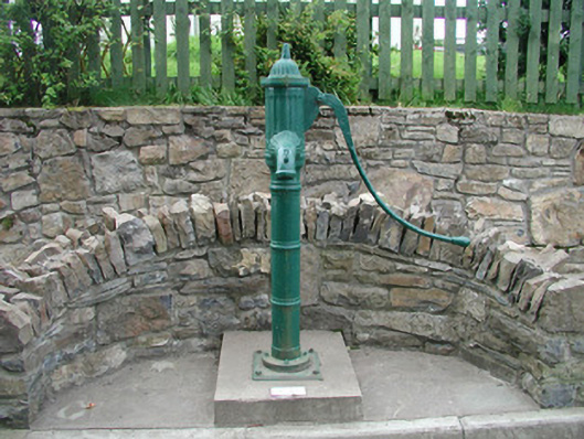 water pumpwater pump · 1269 yd
 Castle (in Ruins)Castle, unclassified · 1.3 mi
 CastleCastle, unclassified · 1.5 mi
 Finned PointHeadland · 1.6 mi
 Grave of WB YeatsHeritage attraction · 1.9 mi
 Drumcliff CemeteryGraveyard · 1.9 mi
 BenbulbinMountain / peak · 2.3 mi
Other information
Photo: Credit not shown in the picture search · Rights wording not checked; contact us if this picture should be removed