What is recorded here
Situated on a slight N-facing slope in gently undulating pasture. D-shaped structure (max. int. dims. 1.35m N-S; 1.75m E-W; H 1.3m) with drystone limestone rubble walls (dims. at top T 0.3-0.53m; dims. at base T c.1m) built into natural slope. The N wall is straight and is aligned E-W and the domed roof has collapsed. The entrance (H at N façade 0.66m; Wth 0.5m; H at inner side 0.3m) is at the base of the N wall and has three large slabs as lintels.
Compiled by: Patrick F. O'Donovan
Date of upload: 21 April 2011
The monument record does not grant public access. Check the route and ask the landowner before entering private land.
- What survives
- Recorded monument
Places near here
 Megalithic structure in Ardnaglass UpperMegalithic structure · 560 yd
 Hut site in Ardnaglass UpperHut site · 560 yd
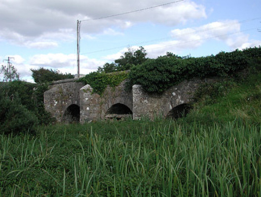 Ardnaglass Bridgebridge · 703 yd
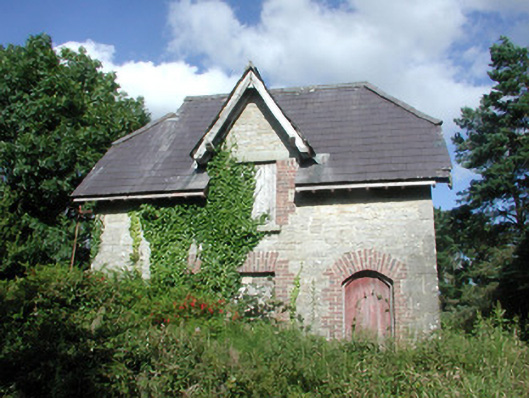 Benbulbin Old Schoolschool master's house · 1517 yd
 BenbulbinMountain / peak · 1647 yd
 BenbulbenMountain · 1.0 mi
 Benbulbin South-East TopMountain / peak · 1.7 mi
 CastleCastle, unclassified · 1.9 mi
 Castle (in Ruins)Castle, unclassified · 2.3 mi
 Dermot & Grania's BedCave · 2.5 mi
 Atlantic SheepdogsHeritage attraction · 2.6 mi
 InishnagorIslet · 2.6 mi