What is recorded here
Fairy fort / stone ringfort in Barnaderg is a fairy fort or stone ringfort in Barnaderg, County Sligo, Ireland. It occupies a slight north-facing slope in gently undulating pasture. A modern drystone field wall crosses the site west of centre, and another modern wall sits on the surviving bank from northwest to southwest. Limestone slabs line the base of the bank from northwest to east-northeast, while a two-metre break at the southeast may mark the original entrance.
Situated on a slight N-facing slope in gently undulating pasture. Slightly raised circular area (diam. 18m) enclosed by a bank of rubble limestone (Wth 5.25m; int. H 0.4m). No fosse visible. A modern NNE-SSW orientated drystone field wall crosses the site to W of centre crossing the edge of the site at NW and at SW. The stone bank has been removed to the W of this wall and the site is defined by a scarp. A modern drystone wall (Wth 0.8m; H 1.2m) has been constructed on top of the surviving bank NW-SW. From NW-ENE limestone slabs are laid on edge at the base of the bank as revetting. A break (Wth 2m) in the bank at SE may mark the position of the original entrance.
Compiled by: Patrick F. O'Donovan
Date of upload: 21 April 2011
This remains an important historical record, but the official description says the monument is no longer visible or has been destroyed. The monument record does not grant public access. Check the route and ask the landowner before entering private land.
- What survives
- No visible remains or recorded as destroyed
Places near here
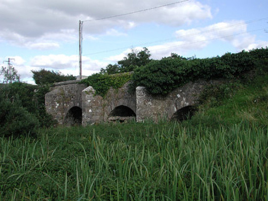 Ardnaglass Bridgebridge · 515 yd
 Hut site in Ardnaglass UpperHut site · 594 yd
 Megalithic structure in Ardnaglass UpperMegalithic structure · 626 yd
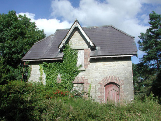 Benbulbin Old Schoolschool master's house · 1284 yd
 BenbulbinMountain / peak · 1.1 mi
 BenbulbenMountain · 1.2 mi
 Benbulbin South-East TopMountain / peak · 1.8 mi
 CastleCastle, unclassified · 1.8 mi
 Castle (in Ruins)Castle, unclassified · 2.4 mi
 Atlantic SheepdogsHeritage attraction · 2.5 mi
 InishnagorIslet · 2.5 mi
 Dermot & Grania's BedCave · 2.6 mi