
What is recorded here
Listed in the SMR (1989) and RMP (1995) and classified 'Sweathouse' in both. Located on a moderate N-facing slope in gently undulating pasture. Rectangular structure (max. internal dims. 1.6m SW-NE; 1.3m NW-SE; H 1.1m) with drystone limestone rubble walls (T 0.3-0.4m). The walls are of un-mortared limestone flags and rubble laid in rough courses. The roof is corbelled with limestone slabs and is covered with sod externally. An irregular break (Wth 0.8m; H 0.7m) in the NW wall marks the position of the original entrance. The entrance was originally lintelled but has now collapsed. This is a post-1700 structure.
Compiled by: Patrick F. O'Donovan
Date of upload: 24 July 2012
A local holy well or ritual site; wider significance not recorded.
The monument record does not grant public access. Check the route and ask the landowner before entering private land.
- What survives
- Recorded monument
Places near here
 Megalithic structure in Ardnaglass UpperMegalithic structure · 126 yd
 IndicatedEnclosure · 179 yd
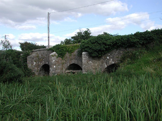 Ardnaglass Bridgebridge · 1232 yd
 BenbulbenMountain · 1562 yd
 BenbulbinMountain / peak · 1589 yd
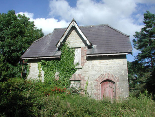 Benbulbin Old Schoolschool master's house · 1714 yd
 Benbulbin South-East TopMountain / peak · 1.6 mi
 CastleCastle, unclassified · 2.2 mi
 Dermot & Grania's BedCave · 2.2 mi
 Castle (in Ruins)Castle, unclassified · 2.4 mi
 InishnagorIslet · 2.8 mi
 Atlantic SheepdogsHeritage attraction · 2.9 mi
Other information
Photo: Credit not shown in the picture search · Rights wording not checked; contact us if this picture should be removed