
What is recorded here
From the National Monuments Service (Archaeological Survey of Ireland) record CV004-011
The monument record does not grant public access. Check the route and ask the landowner before entering private land.
- What survives
- Recorded monument
Places near here
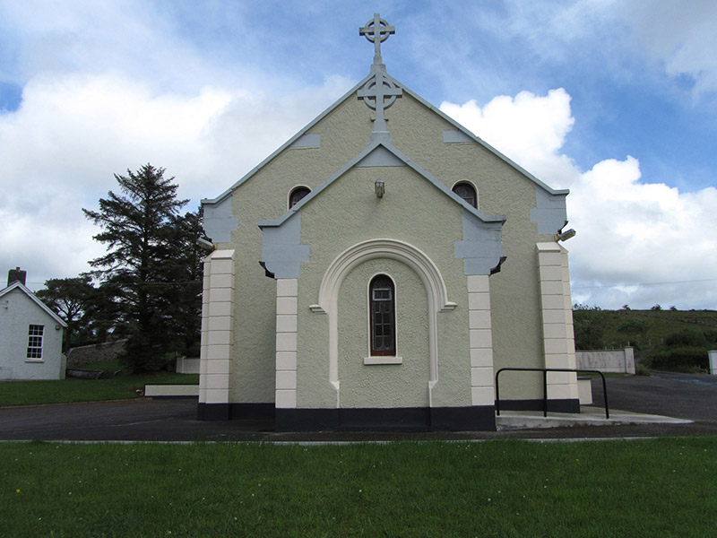 St Felim’s Roman Catholic ChurchChurch/chapel · 495 yd
 IndicatedFairy fort / stone ringfort · 734 yd
 Cavan Burren ParkForest · 1486 yd
 BurrenMountain / peak · 1552 yd
 Druidical AltarPortal tomb · 1606 yd
 Boulder GraveyardArchaeological place · 1.0 mi
 Shannon PotSpring · 1.6 mi
 Marlbank ViewpointViewpoint · 2.2 mi
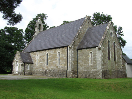 Killinagh ChurchChurch/chapel · 2.2 mi
 InisheeIsland · 3.2 mi
 Cuilcagh Mountain ViewpointVisitor information · 3.4 mi
 Marble ArchNatural arch · 3.4 mi
Pictures: National Inventory of Architectural Heritage; National Library of Ireland on The Commons; photograph by Thomas H. Mason, Wikimedia Commons · No known copyright restrictions; N Chadwick, Wikimedia Commons · CC BY-SA 2.0; N Chadwick, Geograph · CC BY-SA 2.0; Cilian Mac Liam, Wikimedia Commons · CC BY-SA 4.0; Anne Burgess, Geograph · CC BY-SA 2.0; Gerard Lovett from ireland, Wikimedia Commons · CC BY 2.0; Kenneth Allen, Geograph · CC BY-SA 2.0; Oliver Dixon, Geograph · CC BY-SA 2.0
More archaeology and monuments in County Cavan · All of County Cavan
What do you know about this place?