What is recorded here
Built into the SW face of a cliff in a mountainous area with a stream immediately to the W. A drystone built beehive hut (int. dims. 1.15m x 2m; H 1.9m; wall T 0.8m) with a corbelled roof and a flat lintelled doorway (H 0.95m; Wth 0.54m) at SW, facing the nearby stream. The internal wall surface is covered in soot. The SW half of the roof has collapsed with rubble lying on the surface of the sweathouse.
The above description is derived from 'The Archaeological Inventory of County Tipperary. Vol. 1 - North Tipperary' compiled by Jean Farrelly and Caimin O'Brien (Dublin: Stationery Office, 2002). In certain instances the entries have been revised and updated in the light of recent research.
Date of upload/revision: 22 September 2008
The monument record does not grant public access. Check the route and ask the landowner before entering private land.
- What survives
- Recorded monument
Places near here
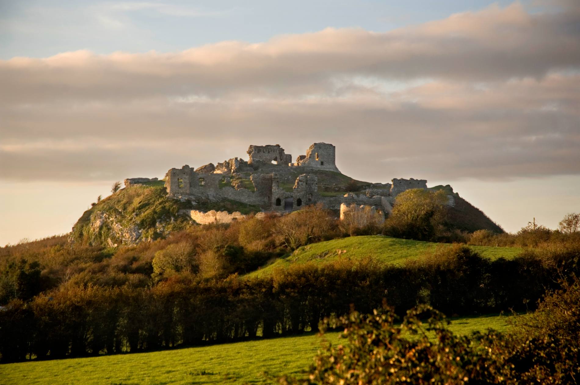 Mass-rock in DoonaneMass-rock · 302 yd
 Ballyhourigan WoodsForest · 1372 yd
 Boolatin TopMountain / peak · 1.1 mi
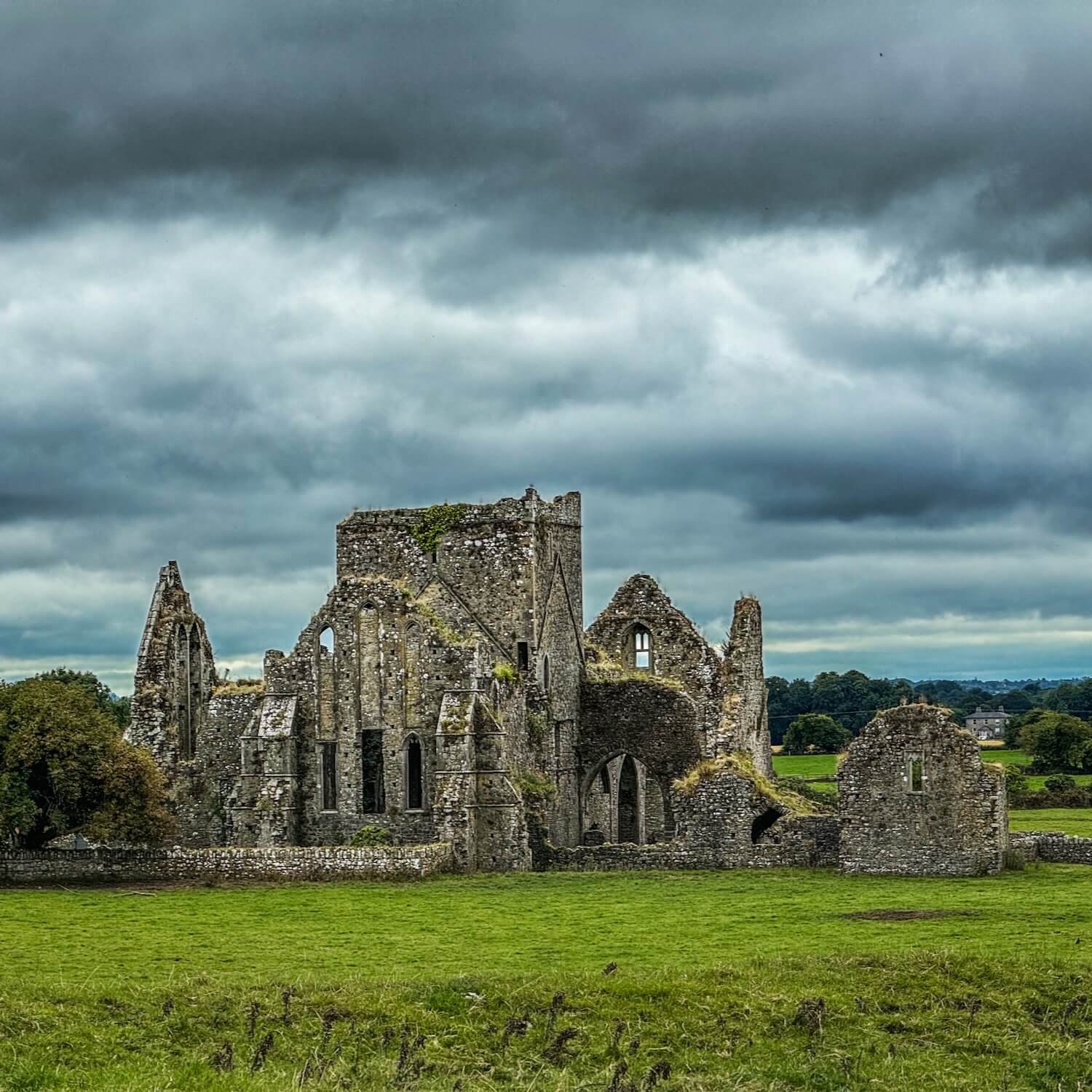 IndicatedFairy fort / earthen ringfort · 1.3 mi
 Track of Cromwells RoadRoad, road/trackway · 1.6 mi
 Ciamaltha Housegate lodge · 1.6 mi
 Keeper HillMountain / peak · 2.4 mi
 Tower (in Ruins)Bawn · 2.5 mi
 Castle WellerCastle · 2.5 mi
 Silvermines ViewpointViewpoint · 4.7 mi
 The MinerMemorial · 5.0 mi
 Our Lady Assumed into HeavenMemorial · 5.0 mi