What is recorded here
Situated on a NW-facing slope on the E side of Tramore Bay. Ryland (1824, 246) suggests that this is an ancient house, and a large house is marked on the Down Survey map (1655-6) at Corballymore, which was then owned by John Leonard, but this townland was owned by Peter Archdeacon in 1641 (Simington 1942, 155). The present house is a 19th century house, built in the Scottish baronial style. It was burnt in 1935, and is largely re-built since then, but there is no evidence of an older structure.
Ryland, Rev. R. H. (1824) The History, topography and antiquities of the county and city of Waterford. John Murray. London.
Simington, R. C. (ed.) (1942) The Civil Survey AD 1654-1656, vi, the County of Waterford. Irish Manuscripts Commission. Dublin.
Compiled by: Michael Moore
Date of upload/revision: 10 June 2011
The monument record does not grant public access. Check the route and ask the landowner before entering private land.
- What survives
- Recorded monument
Places near here
 Corbally Moreoutbuilding · 113 yd
 Lower ForestWood · 166 yd
 Main ForestWood · 166 yd
 Burnt spread in Corbally MoreBurnt spread · 482 yd
 IndicatedEnclosure · 574 yd
 The Baldy ManViewpoint · 1348 yd
 Church (in ruins)Church · 1571 yd
 Memory of the crew of "Rescue 111"Memorial · 1718 yd
 South East Coastal DriveVisitor information · 1.3 mi
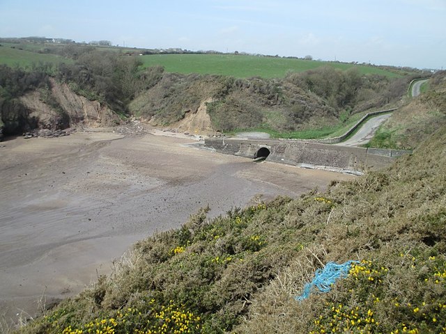 Ballymacaw CoveBeach / strand · 1.4 mi
 Rathmoylan-Ballymacaw Cliff WalkWalking route · 1.7 mi
 Tramore StrandBeach / strand · 1.8 mi