
What is recorded here
Located at the S end of a N-S spur between the estuary of the NE-SW Kilmacleague Pill to the E and the reclaimed lands of the Tramore Back Strand to the W. This is the parish church of Kilmacleague dedicated to St Michael the Archangel, although it was named originally after St. MacLiag, a contemporary of St. Declan of Ardmore (Power 1914, 69-71). The church was described as repaired in 1615, apart from the chancel (Power 1913, 116).
It comprises a nave (ext. dims. c. 10.4m E-W; 7.65m N-S) and later chancel (ext. dims. c. 8.6m E-W; 6.45m N-S) defined by grass-covered foundations. A short length of the W end of the N nave wall (max. H 3.2m) with traces of a doorway (Wth 1.2m) and a section of the S chancel wall (max. H 2.2m) with a window splay survive. There is evidence of three external buttresses against the nave walls. A bullaun stone (dims. c. 0.9m x 0.6m; H c. 0.6m) with a single basin (diam. c. 0.35m; D c. 0.1m) and stoup (Power 1890-91, 477-8) are now missing. There is no evidence of the graveyard, described as 'deserted' by O'Donovan c. 1840 (O'Flanagan 1929, 10-11) and depicted as a rectangular area (dims. c. 40m E-W; c. 30m N-S) around the church on the 1840 ed. of the OS 6-inch map. There are slight earthwork banks N of the church covering c. 1.5 ha. which were mentioned by Power (1890-91, 477-8) and are visible on aerial photographs (ACAP V165/ 58-9). These form no discernible pattern, and the roadway described by Power cannot be recognised.
O'Flanagan, M. (Compiler) (1929) Letters containing information relative to the antiquities of the county of Waterford collected during the progress of the Ordnance Survey in 1841. Typescript. Bray.
Power, Rev. P. (1890-91) The ancient ruined churches of Co. Warterford. JRSAI 20-21, 475-82.
Power, Rev. P. (1913) Material condition of the churches of Waterford. WAJ 16, 114-21.
Power, Rev. P. (1914) the Life of St Declan of Ardmore, and the Life of St Mochuda of Lismore. Irish Texts Society. London.
The above description is derived from the published 'Archaeological Inventory of County Waterford' (Dublin: Stationery Office, 1999). In certain instances the entries have been revised and updated in the light of recent research.
Compiled by: Michael Moore
Date of upload/revision: 10 June 2011
The monument record does not grant public access. Check the route and ask the landowner before entering private land.
- What survives
- Recorded monument
Places near here
 Field boundary in Kilmacleague WestField boundary · 38 yd
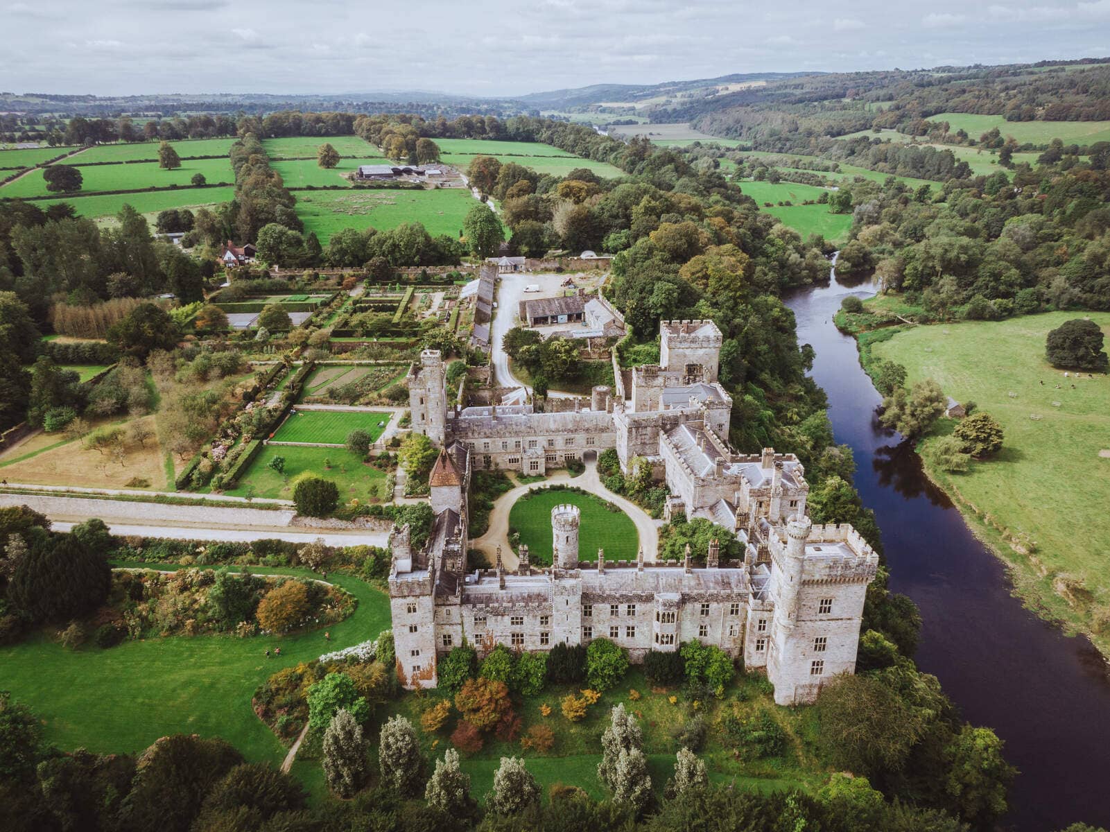 Lisnageragh fortFairy fort / ringfort · 529 yd
 Lower ForestWood · 1405 yd
 Main ForestWood · 1513 yd
 Corbally Moreoutbuilding · 1681 yd
 The Baldy ManViewpoint · 1.3 mi
 Memory of the crew of "Rescue 111"Memorial · 1.5 mi
 South East Coastal DriveVisitor information · 1.8 mi
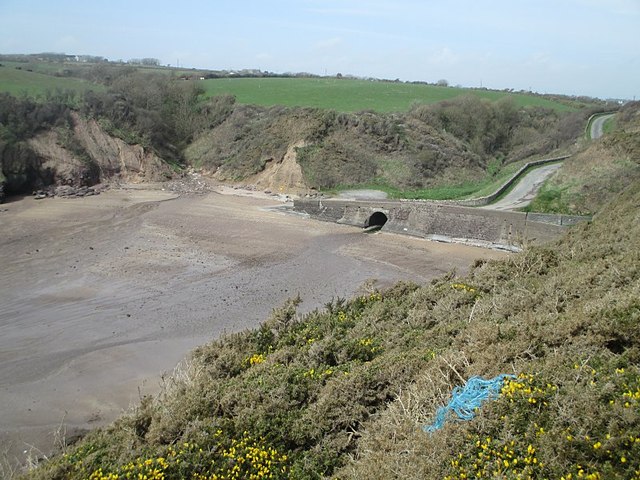 Ballymacaw CoveBeach / strand · 2.0 mi
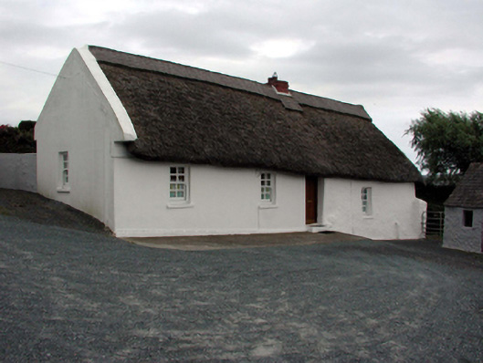 farm housefarm house · 2.1 mi
 Tramore StrandBeach / strand · 2.2 mi
 Rathmoylan-Ballymacaw Cliff WalkWalking route · 2.2 mi
Other information
Photo: Credit not shown in the picture search · Rights wording not checked; contact us if this picture should be removed