
What is recorded here
Located at the S end of a N-S spur between the estuary of the NE-SW Kilmacleague Pill to the E and the reclaimed lands of the Tramore Back Strand to the W. The parish church of Kilmacleague (WA027-019001-) survives as foundations, but there is no evidence of a graveyard. There are slight earthwork banks N of the church covering c. 1.5 ha. which were mentioned by Power (1890-91, 477-8) and are visible on aerial photographs (ACAP V165/ 58-9), but which form no discernible pattern.
Power, Rev. P. (1890-91) The ancient ruined churches of Co. Warterford. JRSAI 20-21, 475-82.
Compiled by: Michael Moore
Date of upload/revision: 10 June 2011
The monument record does not grant public access. Check the route and ask the landowner before entering private land.
- What survives
- Recorded monument
Places near here
 Church (in ruins)Church · 38 yd
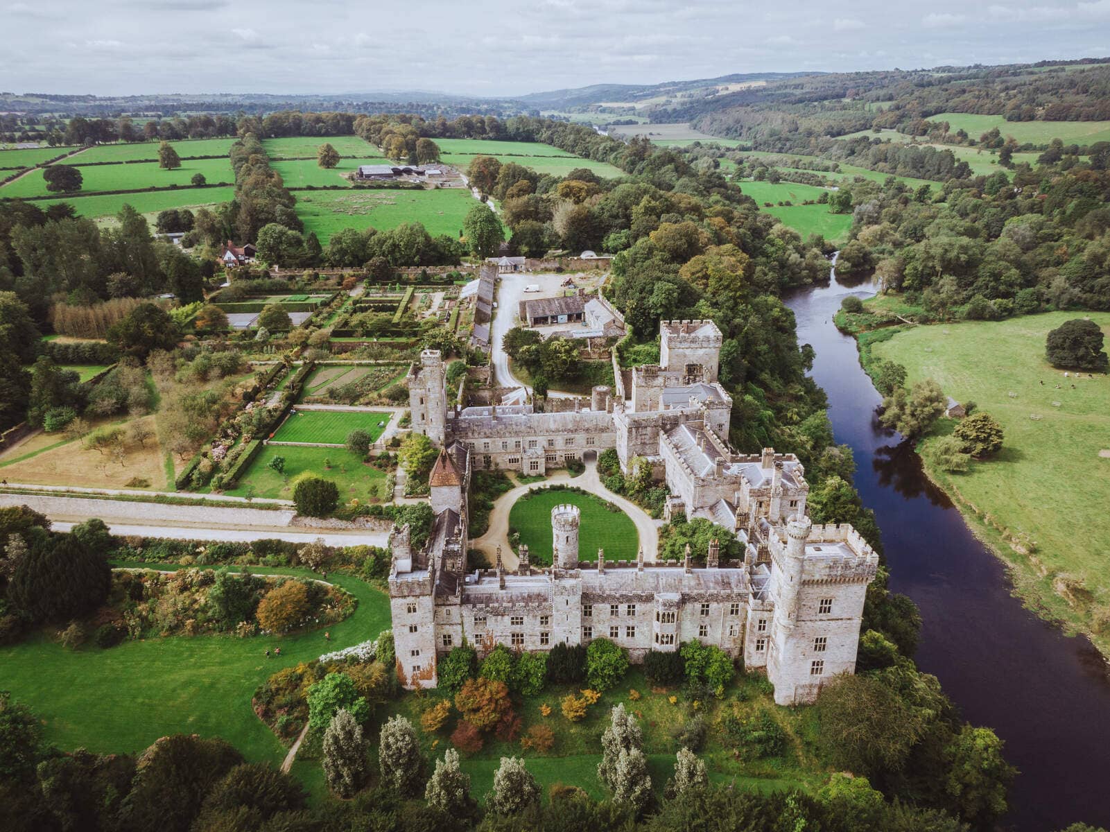 Lisnageragh fortFairy fort / ringfort · 549 yd
 IndicatedEnclosure · 1205 yd
 Lower ForestWood · 1440 yd
 Main ForestWood · 1546 yd
 Corbally Moreoutbuilding · 1716 yd
 The Baldy ManViewpoint · 1.3 mi
 Memory of the crew of "Rescue 111"Memorial · 1.6 mi
 South East Coastal DriveVisitor information · 1.8 mi
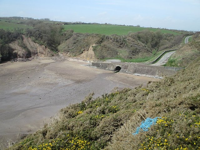 Ballymacaw CoveBeach / strand · 2.0 mi
 Tramore StrandBeach / strand · 2.2 mi
 Rathmoylan-Ballymacaw Cliff WalkWalking route · 2.3 mi
Other information
Photo: Credit not shown in the picture search · Rights wording not checked; contact us if this picture should be removed