What is recorded here
Marked as the site of 'Lisnageragh fort' on the 1840 ed. of the OS 6-inch map where it is represented as a D-shaped area (dims. c. 40m E-W; c. 20m N-S) backing onto a NE-SW lane at N. It is described as the site of Lios na gCaorach - the sheep's fort - on the 1925 ed. of the map. Situated in pasture on the W-facing slope of a spur between the estuaries of the NE-SW Kilmacleague stream to the NW and the E-W Glenaudda River to the S. It is not visible at ground level.
The above description is derived from the published 'Archaeological Inventory of County Waterford' (Dublin: Stationery Office, 1999). In certain instances the entries have been revised and updated in the light of recent research.
Compiled by: Michael Moore
Date of upload/revision: 19 January 2011
The monument record does not grant public access. Check the route and ask the landowner before entering private land.
- What survives
- Recorded monument
Places near here
 Church (in ruins)Church · 529 yd
 Field boundary in Kilmacleague WestField boundary · 549 yd
 IndicatedEnclosure · 699 yd
 Corbally Moregate lodge · 939 yd
 Lower ForestWood · 1034 yd
 Main ForestWood · 1094 yd
 The Baldy ManViewpoint · 1.2 mi
 Memory of the crew of "Rescue 111"Memorial · 1.5 mi
 South East Coastal DriveVisitor information · 1.5 mi
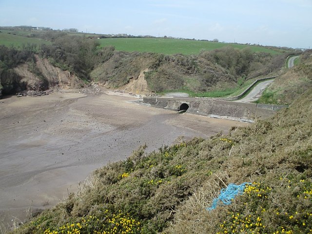 Ballymacaw CoveBeach / strand · 1.7 mi
 Rathmoylan-Ballymacaw Cliff WalkWalking route · 1.9 mi
 Rathmoylan CoveBeach / strand · 2.2 mi
Other information
Photo: Credit not shown in the picture search · Rights wording not checked; contact us if this picture should be removed