
What is recorded here
Located in a low cliff-face on the NW-facing foreshore on the E side of Tramore Bay. A pit (Wth 1.4m; D 0.4m) contains a layer of fire-reddened clay with slab-like stones overlying a layer of reddened clay with smaller pebbles. It is visbile at the junction of the galcial till with the overlying sands. This, or other sites in the cliff-face to the SW could have been sampled (E000346) by the Bally Lough Project, but no definitive results were obtained (Zvelebil et al. 1987, 35, No. 74)
Zvelebil, M., Moore, J. A. and Green, S. W. (1987) Bally Lough. Mesolithic/Neolithic sites. In C. Cotter (ed.) Excavations 1986: summary accounts of excavations in Ireland, 34-5, No. 74. Wordwell. Dublin.
The above description is derived from the published 'Archaeological Inventory of County Waterford' (Dublin: Stationery Office, 1999). In certain instances the entries have been revised and updated in the light of recent research.
Compiled by: Michael Moore
Date of upload/revision: 10 June 2011
The monument record does not grant public access. Check the route and ask the landowner before entering private land.
- What survives
- Recorded monument
Places near here
 Burnt spread in LisseltyBurnt spread · 97 yd
 Corbally Moreoutbuilding · 398 yd
 Lower ForestWood · 597 yd
 Main ForestWood · 644 yd
 The Baldy ManViewpoint · 948 yd
 IndicatedEnclosure · 1051 yd
 Memory of the crew of "Rescue 111"Memorial · 1268 yd
 Church (in ruins)Church · 1.1 mi
 South East Coastal DriveVisitor information · 1.4 mi
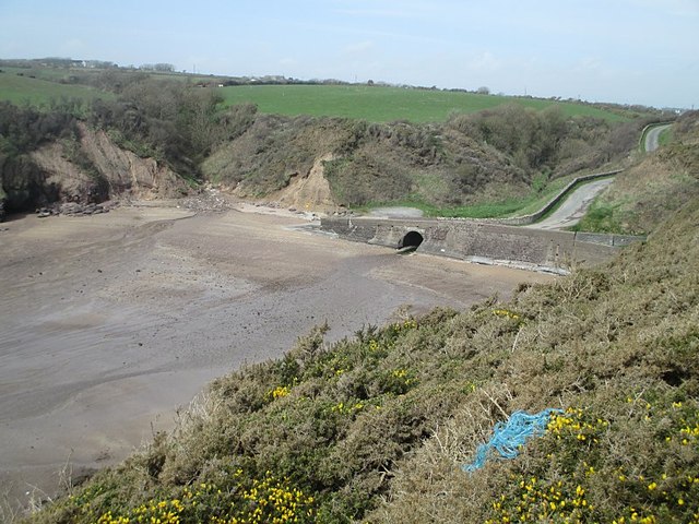 Ballymacaw CoveBeach / strand · 1.5 mi
 Tramore StrandBeach / strand · 1.5 mi
 Rathmoylan-Ballymacaw Cliff WalkWalking route · 1.8 mi
Other information
Photo: Credit not shown in the picture search · Rights wording not checked; contact us if this picture should be removed