What is recorded here
Scotland's National Record of the Historic Environment records Stypie as Sailing Vessel (by Form/type) (period Unassigned). The official map says its point is accurate as follows: NGR given to the nearest 1m. The record does not by itself mean that the public may enter the place.
The *Stypie* was a sailing vessel wrecked off the coast of Scotland, likely in the 19th century; though the exact date and cause of its loss are not recorded, it is known to have been part of Scotland’s maritime trade network during that period.
The historic-place record does not grant public access. Check current conditions and ownership before entering land or a building.
Places near here
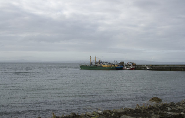 Carrickarory Pierpier/jetty · 1024 yd
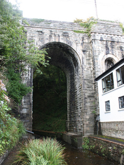 Glebe Bridgebridge · 1095 yd
 Glebe Fairy FortFairy fort / earthen ringfort · 1118 yd
 Cooly Broken Cross SlabCross · 1.1 mi
 Cooley CrossMemorial · 1.1 mi
 Castle CaryCastle, unclassified · 1.6 mi
 Site of Red CastleCastle, unclassified · 2.8 mi
 CrockavishaneMountain / peak · 2.9 mi
 Inishowen Maritime Museum and PlanetariumMuseum · 3.4 mi
 CrockaulinMountain / peak · 3.6 mi
 Sweet Nellie'sBeach / strand · 5.0 mi
 White StrandBeach / strand · 5.5 mi