What is recorded here
A small site (Wth 4m) comprised of worked hazel and yew rods.
From the National Monuments Service (Archaeological Survey of Ireland) record LF013-067022
The monument record does not grant public access. Check the route and ask the landowner before entering private land.
- What survives
- Recorded monument
Places near here
Photo credits
- National Inventory of Architectural Heritage
- Royalcanalrunner, Wikimedia Commons · CC BY-SA 4.0
- Robert French, Wikimedia Commons · No restrictions
- Mike Searle, Geograph · CC BY-SA 2.0
- Alvesgaspar, Wikimedia Commons · CC BY-SA 3.0
- Algirdas at Lithuanian Wikipedia, Wikimedia Commons · Public domain
- AndreasDelp, Wikimedia Commons · CC BY-SA 4.0
StructureStructure, peatland · 110 ydStructureStructure, peatland · 242 yd Middleton HouseCountry house · 1153 ydBegnagh BridgeBridge · 1731 yd45th LockLock · 1.1 miwater pump1.3 miSpringfieldFarmyard complex · 1.3 miCastleforbesCastle · 5.1 miRathcline CastleHouse, fortified house · 5.2 miCommon Lime8.5 miPedunculate Oak8.7 miInchcleraunIsland · 9.4 mi
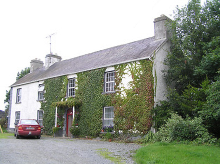 Middleton HouseCountry house · 1153 yd
 Begnagh BridgeBridge · 1731 yd
 45th LockLock · 1.1 mi
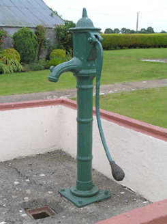 water pump1.3 mi
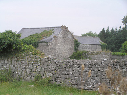 SpringfieldFarmyard complex · 1.3 mi
.jpg/250px-Castle_Forbes,_Longford,_Co._Longford_(21680992271).jpg "Photo: Robert French, Wikimedia Commons · No restrictions") CastleforbesCastle · 5.1 mi
CastleforbesCastle · 5.1 mi Rathcline CastleHouse, fortified house · 5.2 mi
 Common Lime8.5 mi
 Pedunculate Oak8.7 mi
 InchcleraunIsland · 9.4 mi
More archaeology and monuments in County Longford · All of County Longford
What do you know about this place?