What is recorded here
A regularly laid paved floor was found during turf-cutting at a depth of '5 feet' (1.52m) below the bog surface (Longford Leader, 24 June 1933).
Compiled by: Mary Tunney based on data supplied by the former Irish Archaeological Wetland Unit, University College, Dublin.
Date of upload: 26 August 2011
The monument record does not grant public access. Check the route and ask the landowner before entering private land.
- What survives
- Recorded monument
Places near here
 BarrowBarrow, mound barrow · 359 yd
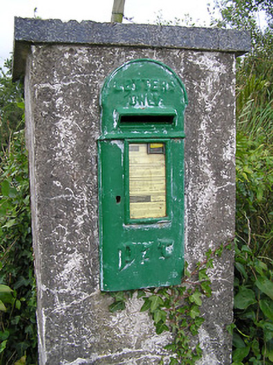 post boxpost box · 436 yd
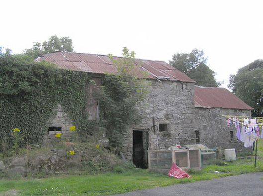 Clooneen Millmill (water) · 518 yd
 Enclosure in DalystownEnclosure · 1436 yd
 CartronfreeMountain / peak · 1.2 mi
 ToomeMountain / peak · 1.7 mi
 IdicatedCastle, unclassified · 2.1 mi
 Derrycassan WoodsWood · 2.3 mi
 Bakers FortCastle, ringwork · 2.7 mi
 1798 Monumentmonument · 2.8 mi
 Granard MotteMotte-and-bailey castle remains · 2.9 mi
 InchmoreIslet · 3.2 mi