What is recorded here
In 2015 Dr. Gill Plunkett identified a potential new peatland monument the timbers of which were exposed when a section of the bog collapsed revealing the worked timbers. Dr. Plunkett collected some of the worked timbers and submitted one of the pieces for 14C dating which returned a date of cal AD 770-970 (UBA-29881, 1168±37 BP).
Recent inspection of the site confirmed the presence of upright roundwoods visible in a crevice on the surface of the heather covered bog. This section of bog has partially collapsed into the lower section of cutaway bog and has a created a crevice running along the surface of the bog revealing the presence of vertical and horizontal timbers located 0.8m below the surface of the bog. These timbers consist of upright roundwoods measuring 5cm in diameter along with horizontal roundwoods all of which appear to belong to some form of peatland structure situated 0.8m below the surface of the bog. This section of bog is in danger of collapsing down into the cutaway section of bog which will result in the exposure of these timbers.
Compiled by: Caimin O'Brien
Date of upload: 12 November 2015
The monument record does not grant public access. Check the route and ask the landowner before entering private land.
- What survives
- Recorded monument
Places near here
 Partially hachuredFairy fort / earthen ringfort · 736 yd
 Calverstown Houseoutbuilding · 825 yd
 OutlinedEnclosure · 1150 yd
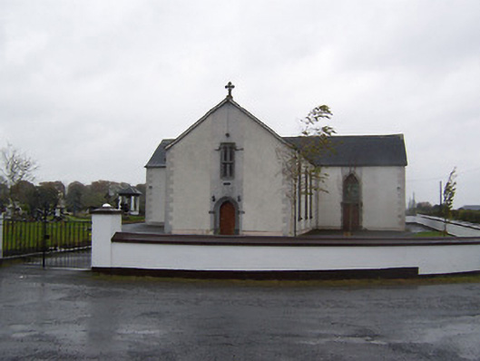 Catholic Church of the Sacred Heartchurch/chapel · 1299 yd
 Robinstown CastleCastle · 1.9 mi
 CastleCastle, tower house · 2.0 mi
 Dysart IslandIsland · 3.5 mi
 Ash IslandIslet · 3.8 mi
 Ardan WoodWood · 5.2 mi
 Derrygreenagh HillMountain / peak · 5.3 mi
 Bonfire HillMountain / peak · 5.9 mi
 Ancient Ring FortWood · 6.9 mi