What is recorded here
The remains of a C-shaped structure were discovered during archaeological monitoring and were subsequently excavated in advance of the construction of the N8 Rathcormac-Fermoy Bypass. The structure was found c. 160m to the W of a rath (CO053-010----) which was partially excavated and radiocarbon dated to AD 620-690. The excavator concluded that it was contemporary with this possible rath and represented domestic activity associated with it. The remains consisted of a trench (Wth 1.4m; D 0.6m) enclosing an area with an internal diameter of 7m by 9m. It had an entrance (Wth 3.7m) at the NE, facing the adjoining rath. Within the structure were found charcoal pits, hearths with cremated bone and the possible remains of kiln flues. Immediately outside the structure two deep pits, with heavily oxidized bases representing in situ burning, were evident. (Murphy 2006k, 76-7; 2006m, 1-87)
The above description is derived from 'The Archaeological Inventory of County Cork. Volume 5' (Dublin: Stationery Office, 2009).
Date of upload: 22 December 2009
The monument record does not grant public access. Check the route and ask the landowner before entering private land.
- What survives
- Recorded monument
Places near here
 Man-made underground passage in Skahanagh NorthMan-made underground passage · 303 yd
 Burnt mound in ScartbarryBurnt mound · 1261 yd
 Church of the Immaculate Conceptionchurch/chapel · 1.1 mi
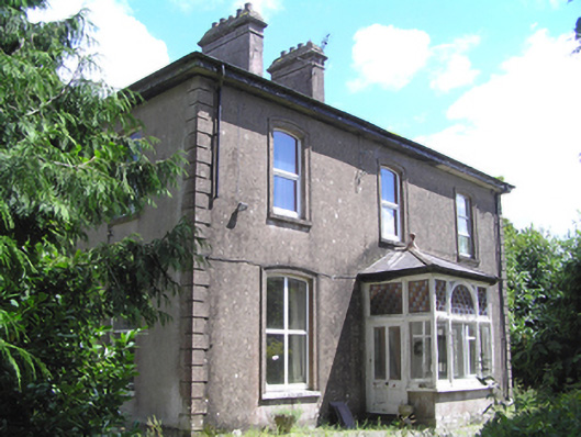 presbytery/parochial/curate's housepresbytery/parochial/curate's house · 1.2 mi
 Devonshire's HillMountain / peak · 1.8 mi
 Castle (in Ruins)Castle, unclassified · 2.3 mi
 Monananig WoodsWood · 2.3 mi
 Moanbaun ForestForest · 2.3 mi
 Graveyard in Killuntin NorthGraveyard · 3.0 mi
 Rathcormac massacremassacre · 3.3 mi
 Castle (Site of)Castle, unclassified · 3.3 mi
 Graveyard in GlenvilleGraveyard · 4.2 mi