
What is recorded here
An extensive later medieval settlement (c. 50-70m NS x 110m), containing six well-defined property plots, was excavated at Station Road, Portmarnock (Licence no. 08E0376). The six plots were defined by linear ditches and were separated into toft and croft areas by internal divisions. This structure was one of two…
Read the whole record
From the National Monuments Service (Archaeological Survey of Ireland) record DU015-136003
Places near here
Photo credits
- Jonjobaker, Wikimedia Commons · CC BY-SA 4.0
- Maker not stated on source page, www.pinterest.com
- National Inventory of Architectural Heritage
- Maker not stated on source page, commons.wikimedia.org
- Maker not stated on source page, en.wikipedia.org
- Maker not stated on source page, www.360cities.net
- William Murphy from Dublin, Ireland, Wikimedia Commons
- Maker not stated on source page, stock.adobe.com
- Maker not stated on source page, www.homestratosphere.com
 Saint Marnock's Church (Portmarnock)Church/chapel · 987 yd
Explorer Tom Saint Marnock's Church in Portmarnock must have taken thousands of cups of tea to build, considering how much effort…
 Mapped graveyardGraveyard · 987 yd
Explorer Tom Mapped graveyard in County Dublin is just a dot on the map right now. I bet it's waiting for you to give it a story.…
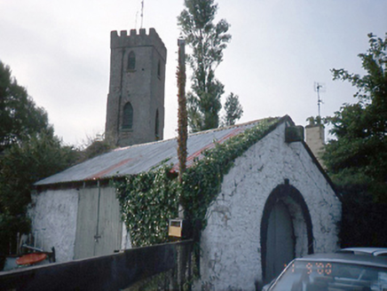 forge/smithy1012 yd
Explorer Tom Forge or smithy in Portmarnock is a single-bay building from 1850 with a horseshoe-shaped entrance. It’s disused now…
 Earthwork in Snugborough (coolock By.)Earthwork · 1021 yd
Explorer Tom Earthwork in Snugborough claims Queen Victoria stopped there for a quick sandwich, but nobody can prove it. It’s a…
 Grange AbbeyHouse, 16th/17th century · 1519 yd
Explorer Tom Grange Abbey in County Dublin was described as a large stone house with slate roofing in the Civil Survey. It’s…
 Enclosure in KinsaleyEnclosure · 1551 yd
Explorer Tom Enclosure in Kinsaley was supposedly built on a bargain where the devil traded a ring of earth for a single grain of…
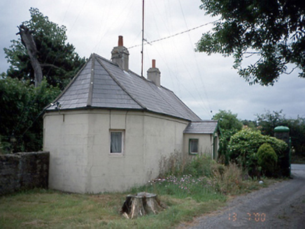 Kinsealy HallGate lodge · 1583 yd
Explorer Tom This Kinsealy Hall gate lodge is from 1860 and has a gable-fronted porch. It’s single-storey and looks quite cozy. The…
 Enclosure in Unknown TownlandEnclosure · 1747 yd
Explorer Tom Enclosure in Dublin inspired such bad poetry that even the crows refused to repeat it back to us during our survey.…
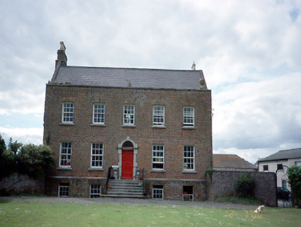 Kinsaley HouseHouse · 1.0 mi
Explorer Tom Kinsaley House in Kinsaley was built in 1736 and took a lot of tea to construct. The flanking screen walls are doing…
 Father Collins ParkPark · 1.1 mi
Explorer Tom Father Collins Park in Donaghmede has football pitches, a skatepark and a playground, but it also has wind turbines…
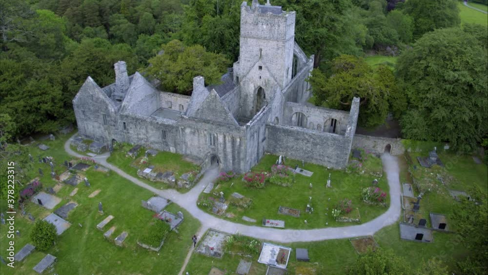 Church in ruins, GraveyardChurch · 1.1 mi
Explorer Tom Church in ruins, Graveyard in Kinsaley is dedicated to St Nicholas and fell apart in the seventeenth century. The nave…
 CastleCastle, unclassified · 1.2 mi
Explorer Tom The Castle at Balgriffin Park was mentioned in the Civil Survey as a small castle with a stone house, now just farm…
More archaeology and monuments in County Dublin · All of County Dublin

What do you know about this place?Tap to add a comment or ask a question