What is recorded here
On a small island created on the E side by a stream which flows northward into the Owenbeg River, and on the W by a side channel. On the 6-inch OS map (1899-1902) there is a wall indicated as 'Nunnery (in Ruins), however, it is probable that this structure is actually a mill (KK001-004005-). According to Carrigan (1905, vol. 2, 115-17), 'About 40 yards from the ruins of the Nunnery [mill building], to the north, and within the enclosure [island], are the remains of a small circular building, perhaps an Anchorite's cell'. The island is overgrown with deciduous trees and scrub. The circular building could not be identified.
Compiled by: Jean Farrelly
Date of upload: 30 May 2016
The monument record does not grant public access. Check the route and ask the landowner before entering private land.
- What survives
- Recorded monument
Places near here
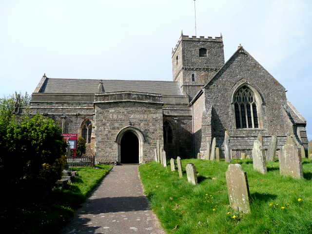 St. Chaddens Church (in ruins)Church · 105 yd
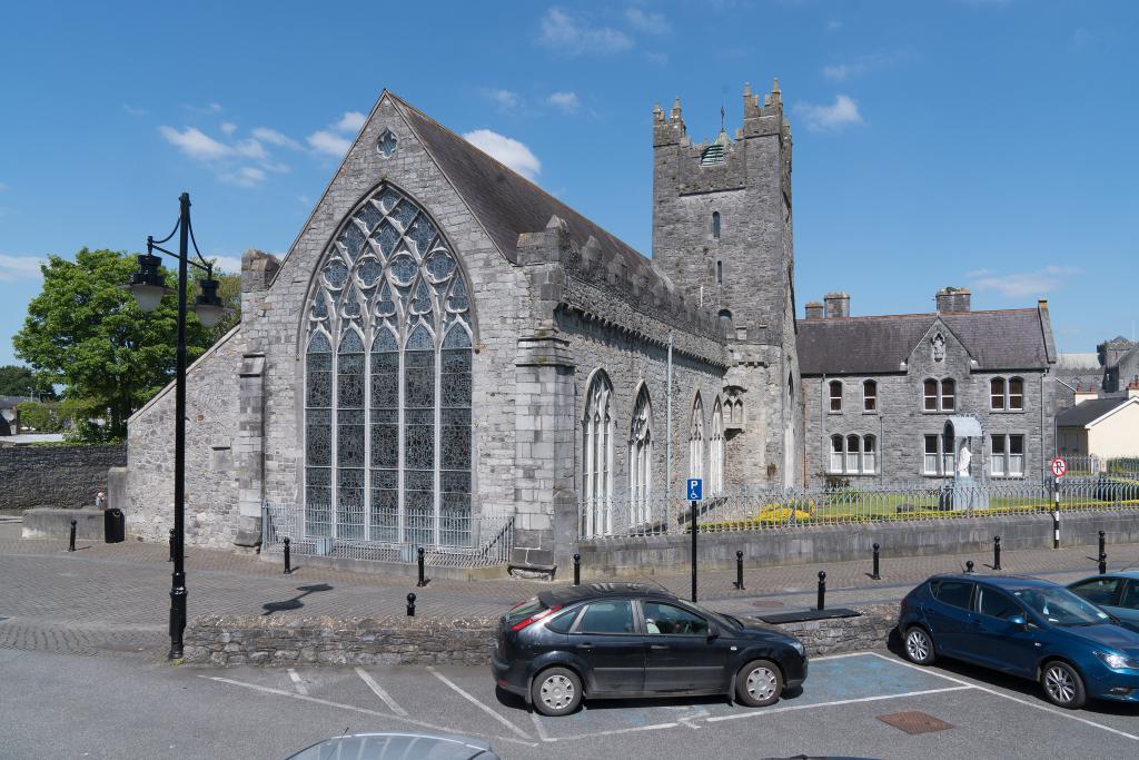 Abbey (in ruins)Religious house, unclassified · 353 yd
 Enclosure in CloghogeEnclosure · 1.1 mi
 Enclosure in Ironmills OR KilrushEnclosure · 1.1 mi
 (Site of) CastleCastle, unclassified · 1.2 mi
 1798 MonumentMemorial · 1.2 mi
 Common LimeCommon Lime · 1.5 mi
 AskuarWood · 1.6 mi
 Heywood GardensHeritage attraction · 1.8 mi
 Moat Castle in ruinsCastle, unclassified · 1.8 mi
 Graveyard in SraleaghGraveyard · 3.9 mi
 Anker's IslandIsland · 4.0 mi