DDiscover AloneMapAbout

Structure in Loughgur

Structure

The monument record does not grant public access. Check the route and ask the landowner before entering private land.

What do you know about this place?Tap to add a comment or ask a question

What you write will be public.

What is recorded here

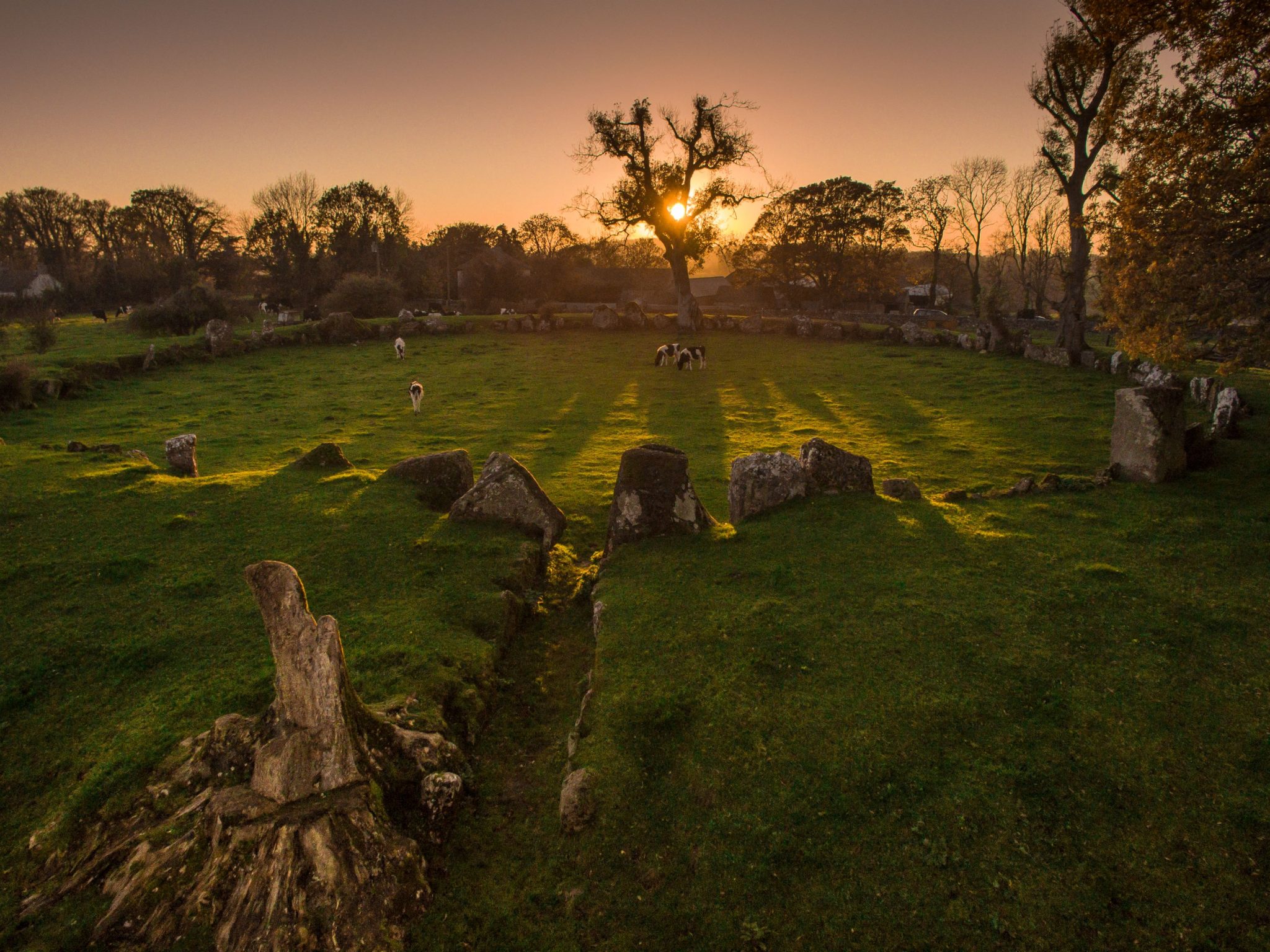
Situated in area of rock outcrop 130m E of a small lake that was drained in the 19th century and which formed part of Lough Gur. The small lake had two islands known as 'Balie Islands' which are the remains of two crannóga (LI032-039001-/002-). Carraig Aille fort (LI032-053002-), a deserted settlement (LI032-053041-)…

Read the whole record
Situated in area of rock outcrop 130m E of a small lake that was drained in the 19th century and which formed part of Lough Gur. The small lake had two islands known as 'Balie Islands' which are the remains of two crannóga (LI032-039001-/002-). Carraig Aille fort (LI032-053002-), a deserted settlement (LI032-053041-) and two cashels (LI032-053001-/003-) lie 50m to SE. Described by O'Kelly (1944, 25) as one of three small enclosures situated on NW slope of Carraig Aille Hill. He described them as following; 'There are three enclosures formed of rough standing stones and in places where it was convenient, the natural rock outcrop has been utilised. They were excavated but the results were entirely negative' (O'Kelly 1944, 25). Listed by Ó Ríordáin (1954, 458) as 'Id' and described as 'Stone enclosures' associated with Carraig Aille stone fort (LI032-053001-). Site excavated by Ó Ríordáin who listed the monument as Site 3 and described it as 'structures north-west of Carraig Aille' (Ó Ríordáin 1949, 40). These structures were described by Ó Ríordáin (1949, 56-7) as following; 'On the hill-slope north-west of Carraig Aille I [LI032-053002-] was a group of structures whose outlines were marked by very large stones (some over 3' [0.9m] in height) which might be described as megalithic in character. The rock face, also about 3' [0.9m] in height, was utilised to form one side of a structure (C). The outlines of the enclosures so formed were very irregular and differed considerably in size. A, the one farthest to the south, was completely outlined by standing stones and no entrance was apparent either before or after excavation. B was less completely enclosed and C was only very inadequately closed on the north side, where the upright stones near the north-west corner were small and did not appear before excavation. The dimensions of A were approximately 14' [4.3m] by 12' [3.7m]. B was somewhat smaller but C was much larger, about 26' [8m] by 18' [5.5m]. The stones on the western side of the structures served as much to bank up the raised interior as to enclose the areas, the interior being about 2½' [0.75m] higher than the ground to the west. On excavation it was found that a considerable amount of stones had been piled around the uprights and had, in part, served to keep them in position. The only finds were a small quantity of animal bones and no datable evidence or artifact of any kind was discovered. In the neighbourhood of the structures are other evidences of ancient activity. About 33 yards to the north of the group is a plateau approximately semi-circular in outline, its straight side formed by the rock and the curved side on the west by an edging of upright stones which served to terrace the enclosed area. Immediately south-west of the group is a similarly enclosed area, about 25 yards across. The absence of post-holes and the irregular construction of the group make it likely that these structures were not intended for human habitation and suggest that they were rather unroofed pens for animals probably sheep. The whole group was possibly connected with the neighbouring forts on Carraig Aille [LI032-053002-/001-/003-]'.

From the National Monuments Service (Archaeological Survey of Ireland) record LI032-052

Places near here

Photo credits
  • Maker not stated on source page, www.pinterest.com
  • Maker not stated on source page, www.irishamerica.com
  • Maker not stated on source page, en.wikipedia.org
  • National Inventory of Architectural Heritage
  • No machine-readable author provided. Christian1965~commonswiki assumed (based on copyright claims)., Wikimedia Commons · Public domain
  • Maker not stated on source page, www.alamy.com
  • Ballyhoura Failte, Wikimedia Commons · CC BY-SA 2.0
  • Knockane GAA Club website; individual photographer not stated, www.knockane.com
  • Kmcnamee, Wikimedia Commons · CC BY-SA 4.0
Fairy fort / stone ringfort in LoughgurFairy fort / stone ringfort · 197 yd

Explorer Tom The matchmaker who worked at this Fairy fort in Loughgur never made it to the wedding, only the ring. It sits on rocky…
Cist in LoughgurCist · 362 yd

Explorer Tom Cist in Lough Gur loves 'Bohemian Rhapsody' because it fits right in with the rock opera vibe of being buried in a…

Stone CirclesBurial mound · 451 yd

Explorer Tom Stone Circles in Loughgur would be the uncle at a wedding who stands in the corner, sipping one drink, and judging…
Maura's CottageHouse · 565 yd

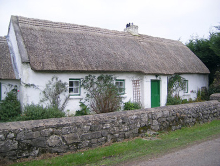
Explorer Tom Maura’s Cottage in Loughgur is thick on thatch and thin on privacy, so I suspect two fairies are currently fighting…
Áine and Gearóid Iarla: Lough GurLegend location · 898 yd

Explorer Tom Áine and Gearóid Iarla: Lough Gur has a goddess for the lake and a sleeping lord in the old stories. I thought I was…

Standing stone in LoughgurStanding stone · 951 yd

Explorer Tom Standing stone in Lough Gur would survive Big Brother by just standing still and ignoring everyone who tries to talk to…

Knockbologue HouseHouse · 1073 yd

Explorer Tom Knockbologue House in Loughgur hosted a fake royal visit where the king got stuck in the chimney and ate all the…
Saint Patrick's Catholic ChurchChurch/chapel · 1579 yd

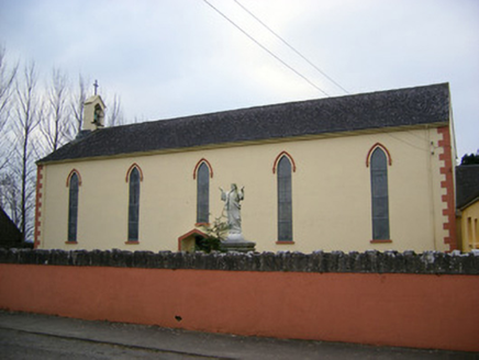
Explorer Tom Saint Patrick's Catholic Church was saved by a hero nobody remembers anymore. He just fixed the belfry and vanished…

Giants GraveMegalithic tomb · 1.0 mi

Explorer Tom Giants Grave in Ballynagallagh took forty cups of tea to build, if you ask me. The stones lean so hard they're…

mausoleum1.0 mi

Explorer Tom The Cahercorney mausoleum was designed by a mother-in-law who wanted the Crokers to know their place in history. Those…
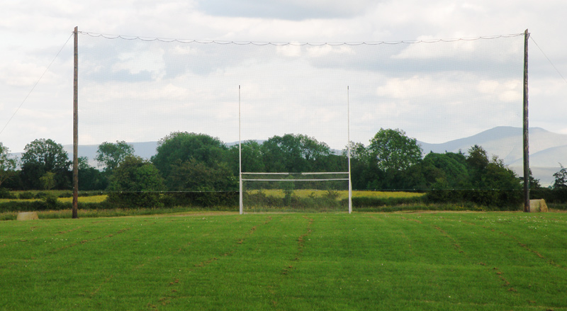
Knockainey GAA pitchGAA ground · 3.1 miBruff GAA pitchGAA ground · 3.2 mi

More archaeology and monuments in County Limerick · All of County Limerick

Add to this placeAdd a picture Add a detailed tip Add a story

Explore the map1,095,414 places to discover

Next place · or swipeFairy fort / stone ringfort in Loughgur