What is recorded here
No surface remains visible of levelled cairn on Digital Globe aerial photograph taken November 2011. Levelled monument, possibly a building was situated on reclaimed grassland 200m SW of River Gaine and 100m S of levelled mound (WM012-031-----). Monument described in 1972 as situated on low lying undulating field in grass-land. A large irregular shaped grass-covered mound of small stones, some of which have traces of mortar adhering to them which may suggest that the mound represented the site of a levelled building.
Compiled by: Frank Coyne and Caimin O'Brien
Date of upload: 7 February 2018
The monument record does not grant public access. Check the route and ask the landowner before entering private land.
- What survives
- Recorded monument
Places near here
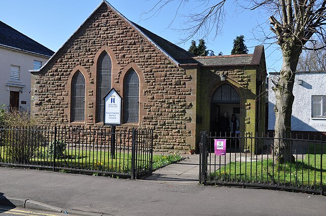 ToberslauntiaHoly well · 565 yd
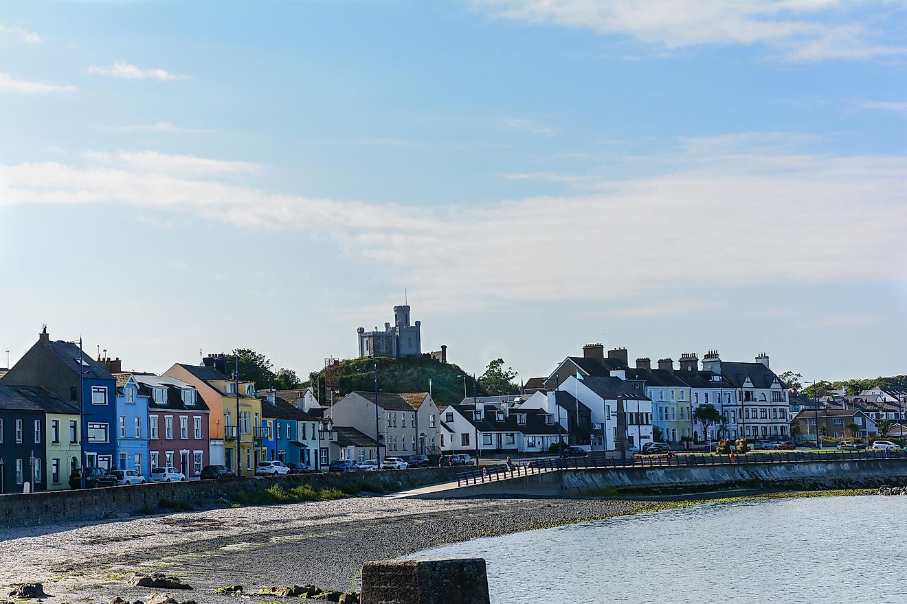 RahanduffFairy fort / earthen ringfort · 593 yd
 CastleCastle, motte · 717 yd
 ChapelChurch · 1262 yd
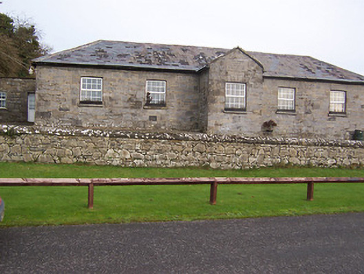 Ballynafid National Schoolschool · 1402 yd
 Scragh Bog Nature ReserveNature reserve · 1.3 mi
 Church IslandIsland · 2.1 mi
 Long PlantingForest · 2.4 mi
 Bridge Memorial (Kenna)Memorial · 2.4 mi
 Knockdrin CastleCastle · 2.5 mi
 Srudarra IslandIslet · 2.8 mi
 Saint Brigid's WellSpring · 3.4 mi