What is recorded here
Two houses and two structures from the Early Neolithic (c. 4000 BC - c. 2800 BC) were recorded. This structure is located in a fold on the E side of the ridge c. 10m NW of the Neolithic house, Structure 1, and is designated Structure 5. A relatively small area (dims c. 20m N-S; c. 20m E-W) has a dense concentration of postholes at the centre (diam. c. 5-6m), but no pattern was discernible except that the larger postholes tended to be on the outside and there was very little intercutting of features. Stakeholes extend outside the concentration of postholes to the NW and N. Some pits (dims 0.49m x 0.37m; D 0.17m to 1.38m x 0.78m; D 0.21m) are also in the vicinity but no artefacts were recovered from any of these contexts and nothing like a hearth was identified. However, a sample of oak sapwood charcoal from one of the postholes provided a C14 date of 4060-3800 cal. BC (SUREC 29347), which is the earliest Neolithic date from this excavation. (Walsh 2011, vol. 1, 35-43)
True location: ITM (675650, 774117)
See the attached plans adapted from Walsh (2011, vol. 2, figs 6, 7, 13)
ME017-087_1 Site plan;
ME017-087_2 Contour plan;
ME017-087_3 Location;
ME017-087003-_1 Monument plan;
Compiled by: Michael Moore
Date of upload: 16 March 2022
The monument record does not grant public access. Check the route and ask the landowner before entering private land.
- What survives
- Recorded monument
Places near here
 Enclosure in Kilmainham (kells Upper By., Teltown Par.)Enclosure · 13 yd
 Enclosure in Kilmainham (headford)Enclosure · 964 yd
 Orchard WoodWood · 1480 yd
 Long WoodWood · 1507 yd
 Castle ruinsCastle · 1565 yd
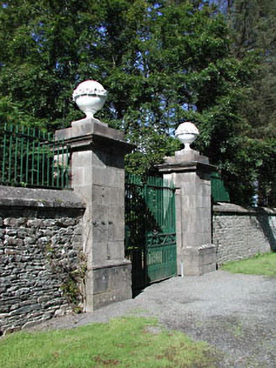 Headfort Housedemesne walls/gates/railings · 1.2 mi
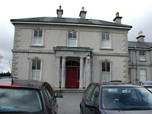 Eurekahouse · 1.2 mi
 Saint John's CemeteryMemorial · 1.3 mi
 The Parnell GardenMemorial · 1.4 mi
 CastleCastle, motte · 1.5 mi
 BallybegMountain / peak · 1.6 mi
 BalreaskMountain / peak · 2.8 mi