What is recorded here
On ground sloping gently to S, in gently undulating terrain, under pasture. No visible trace of houses above ground, though visible as cropmarks on an aerial photograph (GSI May 1977 R. 594/S. 691). Foundation trench excavated (Excavation number E00455) in 1987-1991 (Doody 2007, 28-9, Structure 10), interpreted by excavator as being a portion of a building which extended towards the E and based on construction morphology is similar to the excavated Bronze Age houses, TS087-007001-; TS087-007002-; TS087-007003-; TS087-007004-; TS087-007005-, located c. 13m to the NNW; c. 20m to NNW; c. 13m to NW; c. 12m to W and c. 8m to WSW respectively.
Compiled by: Jean Farrelly
Date of upload: 20 November 2013
This remains an important historical record, but the official description says the monument is no longer visible or has been destroyed. The monument record does not grant public access. Check the route and ask the landowner before entering private land.
- What survives
- No visible remains or recorded as destroyed
Places near here
 Enclosure in KilroeEnclosure · 1317 yd
 Enclosure in Burges WestEnclosure · 1327 yd
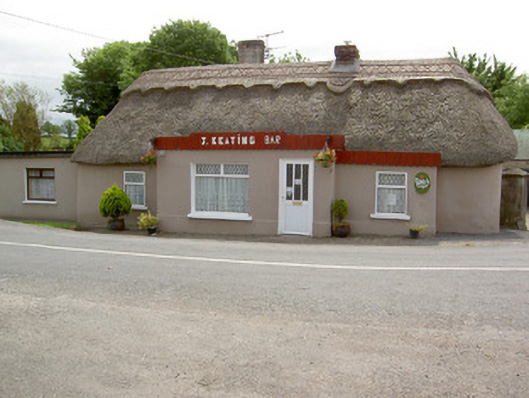 J. Keatinghouse · 1.0 mi
 Catholic Church of Our Lady and Saint Kieranchurch/chapel · 1.0 mi
 Knockane Castle ruinsCastle · 1.3 mi
 CastleCastle, motte · 1.6 mi
 Sweet ChestnutSweet Chestnut · 2.6 mi
 Rehill WoodForest · 2.7 mi
 Woodcock HillMountain / peak · 4.1 mi
 The VeeViewpoint · 4.2 mi
 Grubb’s GraveMemorial · 4.3 mi
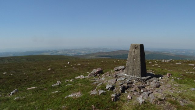 KnockshanahullionMountain / peak · 4.6 mi